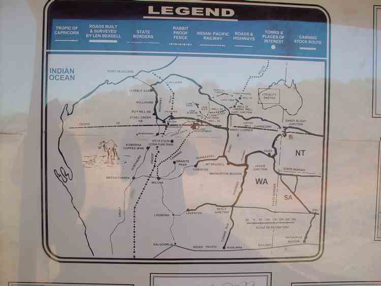
The
Gunbarrel Highway
Len Beadell, an army surveyor, was given the task of carrying out an initial survey of the area
that was to become the Woomera Rocket Range.
He continued to work on the rocket range after his discharge from the army and was responsible for the
construction of over 6000 km of roads through 2.5 million km2 of the Great Sandy, Gibson and Great Victoria deserts.
The first task was to construct a road running west to east across the centre of Australia to provide a major
service access for the construction of all other linking roads.
Being a surveyor who liked to draw neat lines on maps, he decided to site roads in areas where long straight lengths could be built.
This would maximise the efficiencies of distance, fuel and maintenance.
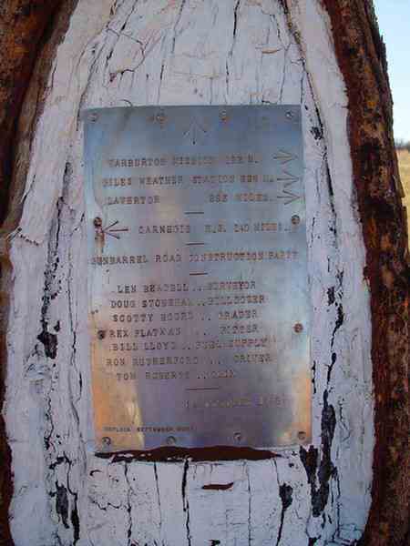
He light-heartedly called his small group of seven the "Gunbarrel Highway Construction Party" as a reference
to the alignment of the roads they were building.
He led his party alone in a Landrover, often working alone many hundreds of kilometres in front of the rest of the crew.
A D6 Caterpillar bulldozer driven by Doug Stoneham followed.
As they started each new section Doug would drive toward a flasing mirror or flare shot high into the air.
After a few minutes Len would continue on with his work and Doug would keep a straight line by sighting back over his shoulder.
Scotty Boord drove the Number 12 Caterpillar grader. Supplies were carried in three 3-tonne trucks and a second Landrover.
Rex Flatxan was the mechanic. Bill Lloyd was the long distance driver who brought up the rations, fuel and water.
Tom Roberts was the cook. Ron Rutherford drove the other Landrover.
He was a general hand who also cleared the road of debris after the last pass of the grader.
The first 150 km of road from Carnegie Station to Mulga Park Station was constructed in 1955.
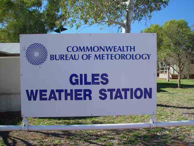
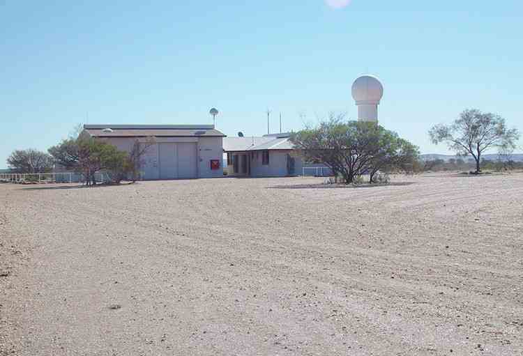
In 1956 the next 575 km to the site where Giles Meteorological station now stands was constructed.
The last 800 km to Victory Downs Station near the Stuart Highway was finished in 1958.
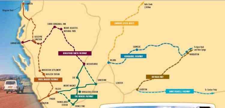
Nowadays the Gunbarrel "Highway"is the name given to the collection of tracks and roads that lead east from Wiluna
and eventually end up at Uluru. Strictly speaking, the first section from Wiluna to Carnegie Station is not part of the Gunbarrel.
It was an existing road before Len Beadell started blazing the Gunbarrel east of Carnegie Station in 1955.
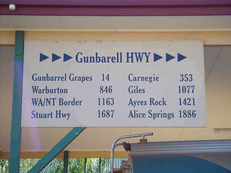
The distances heading east are huge!! This misspelt sign is in Wiluna.
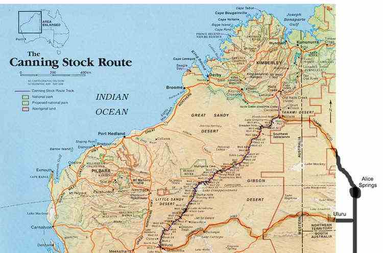
We travelled along the Gunbarrel Highway after reaching Wiluna via Alice Springs,
the Tanami Road and the Canning Stock Route.
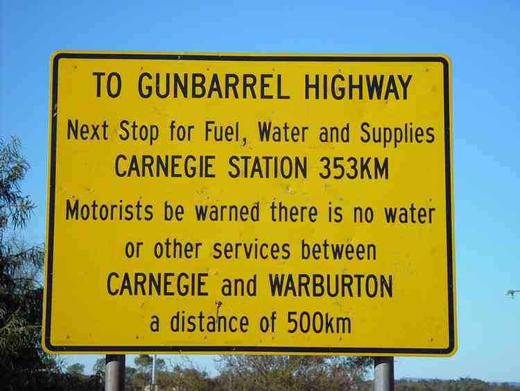
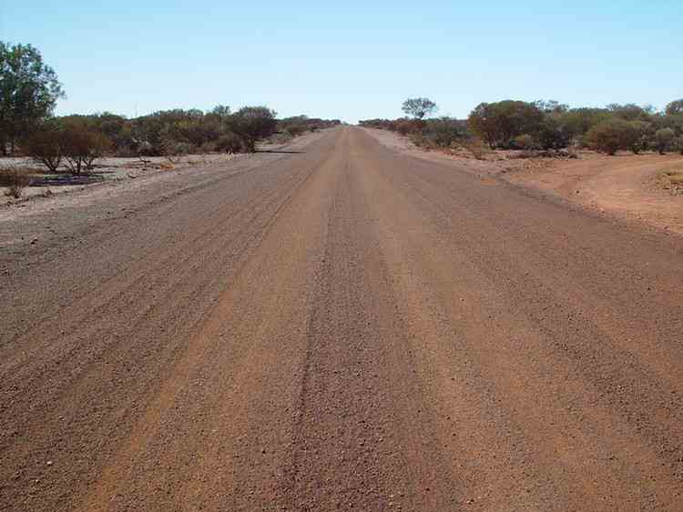
The first 400 km or so (to beyond Carnegie Station) is a good gravel road,
well maintained by the Wiluna Shire.
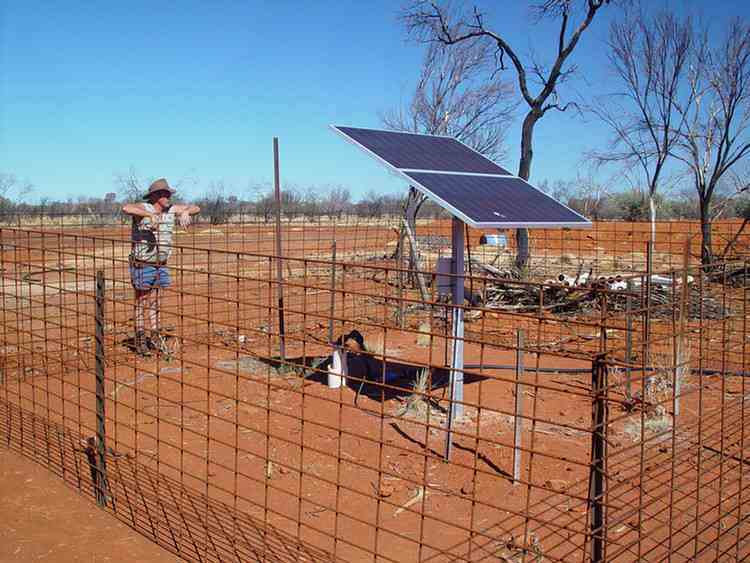
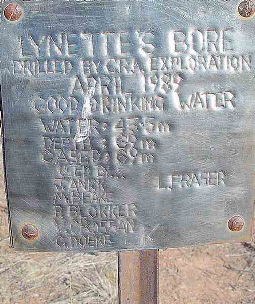
A solar powered pump filling a stock dam
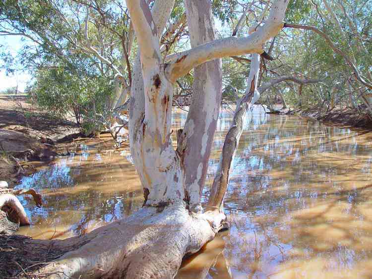
We had lunch at a very pleasant spot on the banks of Harry Johnstone Waterhole
(named in 1896 after the Surveyor General of Western Australia).
Carnegie Station
David Carnegie passed this way looking for gold in 1896.
The station was first taken up in 1938.
Originally a large station of almost 4000 km2,
it has been amalgamated with other stations over the years and now covers over 21,000 km2.

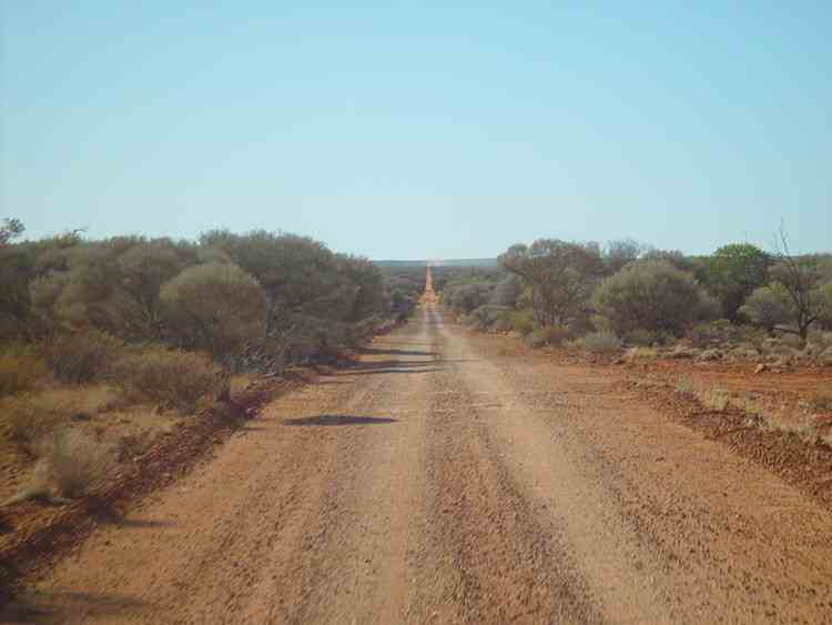
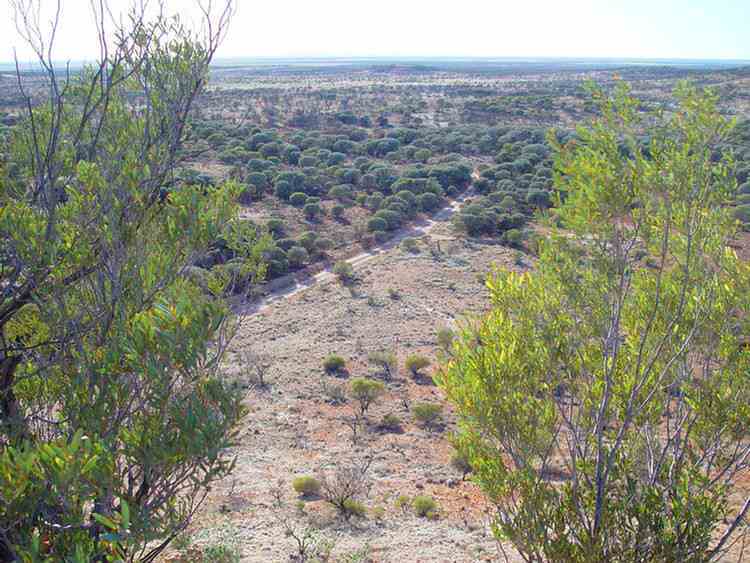
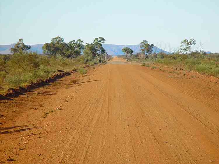
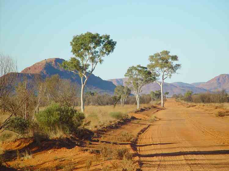
The true Gunbarrel "Highway"
One of a number of Len Beadell trees
The Gunbarrel "Highway" is not maintained.
Parts of it have become very corrugated due to vehicles travelling too fast.
Sections of the Gunbarrel were in worse condition than the Canning Stock Route.
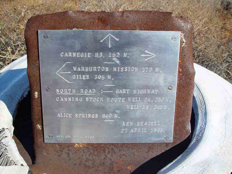
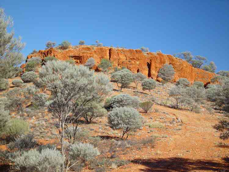
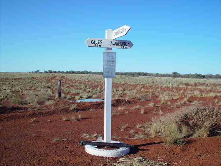
Everard Junction
The Gary "Highway" was built by Len Beadell in 1963 shortly after his son Gary was born.
It runs to Windy Corner where the Talawana Track goes to Well 33
on the Canning Stock Route and on to Newman.
Further north the Gary "Highway" joins the Kidson Track
(to Well33 and on to Marble Bar) and the Callowa Track to Well 35.
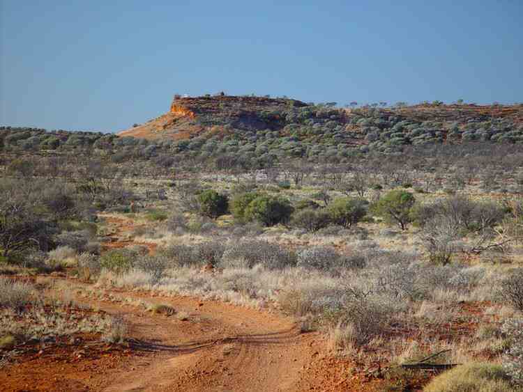
Mount Beadell
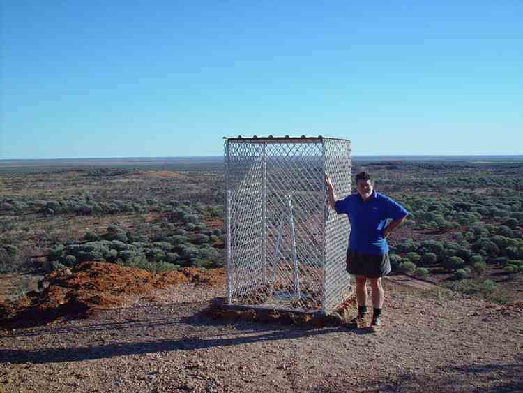
Len Beadell's former campsite near Mount Beadell
Heather "Highway" Junction
The Heather "Highway" was built by the Hunt Oil Company and was named after Heather Hewitt,
daughter of the superintendent at Warburton at the time.
Jackie Junction named by Len Beadell after his daughter, Jacqui
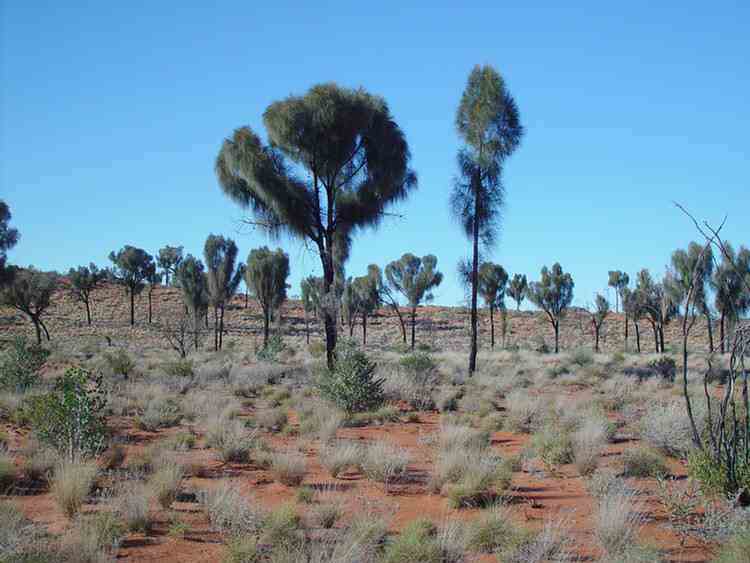
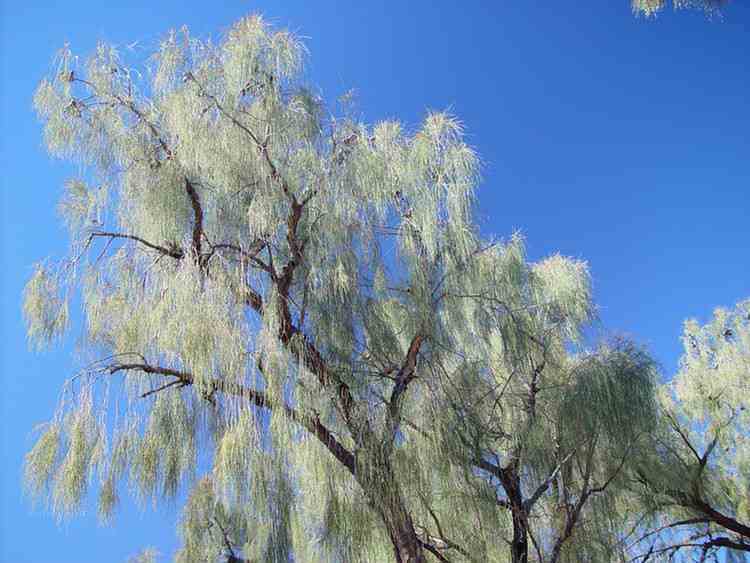
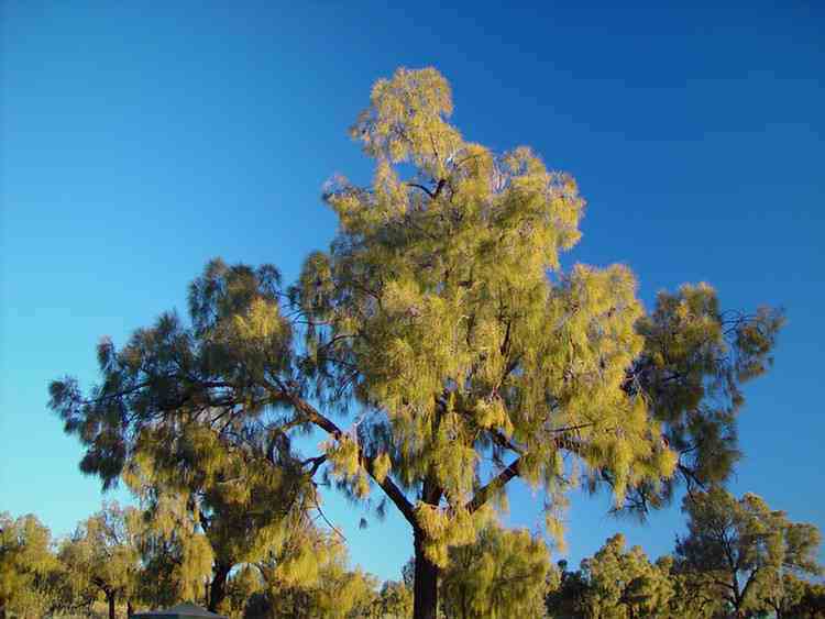
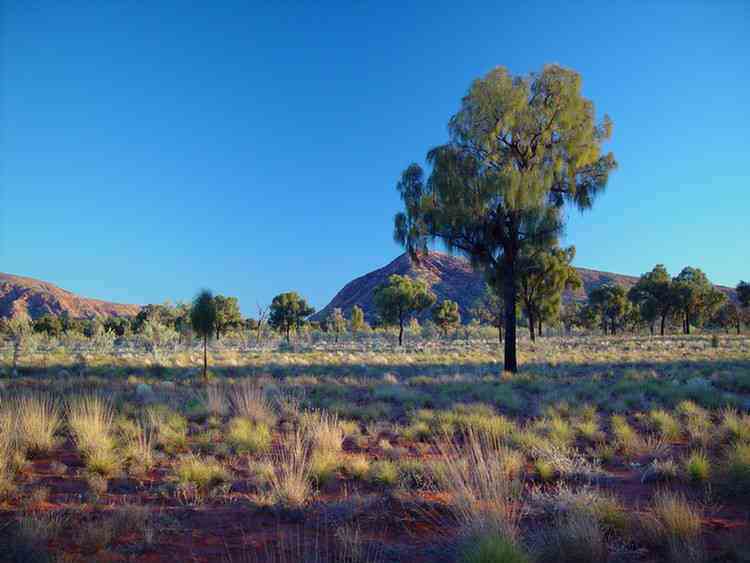
Desert Oaks
(Kurkara)
(Allocasurina descaisneana)
We all loved them.
These 8-12 metre high picturesque trees display a broad
weeping canopy which adds to their beauty.
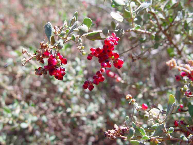
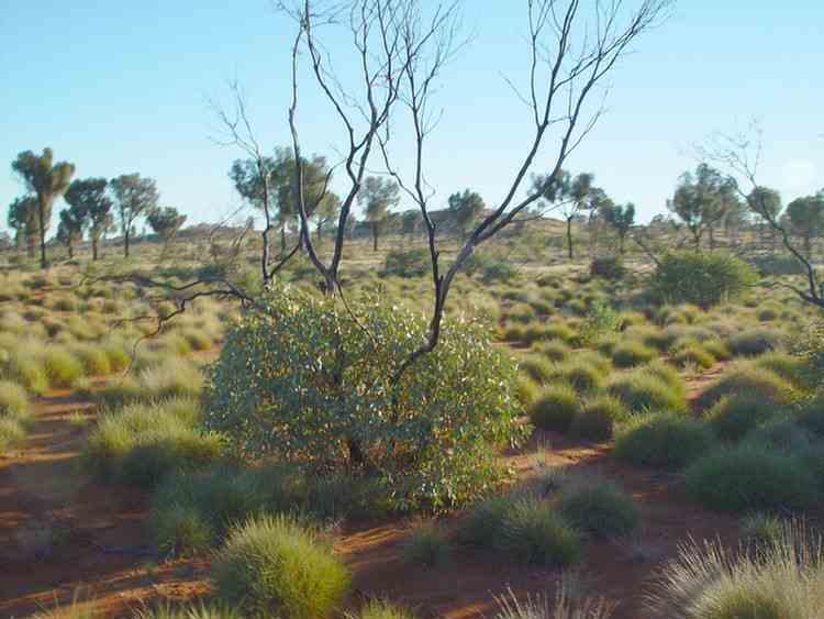
The Acacias sprout again after fire ....
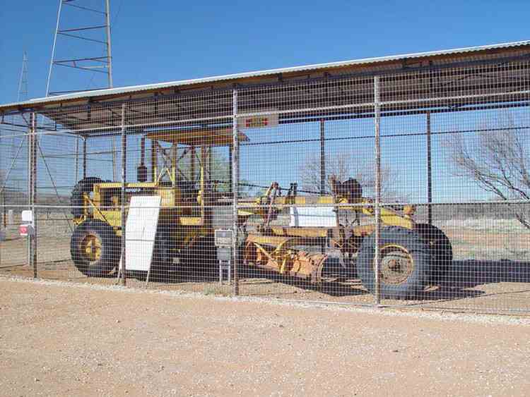
The Gunbarrel grader
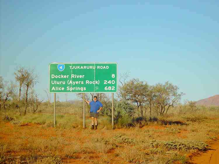
From Giles we travelled 85 km to the WA-NT border.
Beautiful, beautiful Namatjira country in the late afternoon sunshine.
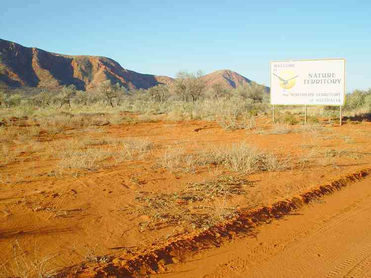
Across the WA-NT border to Docker River
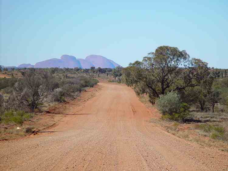
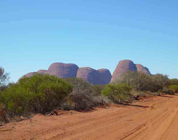
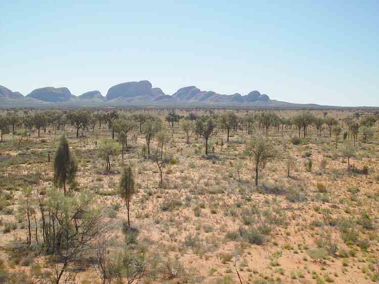
Kata Tjuta (The Olgas)
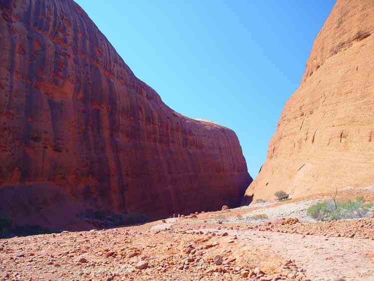
Walpa Gorge
Walpa means wind in Yankunytjatjara and Pitjantjatjara, the indigenous languages of the area.
Kata Tjuta is sacred to Anangu men. The traditional Law for Kata Tjuta is still learnt and passed on today.
Under this Law, detailed knowledge of the area is restricted to certain people only.
It is forbidden to pass this information on to the wrong people.
Therefore the creation stories of the area are not available.
In the old days the Anangu people would walk to the area from the lands that we have recently passed through in the west.
The stream passing out of the Walpa Gorge has always been an important source of water.
Women would camp well back from the Gorge.
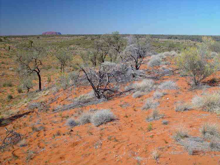
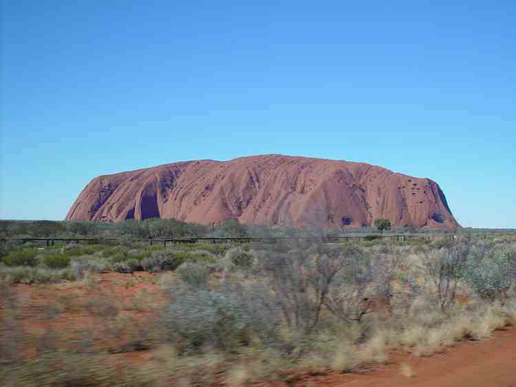
Uluru
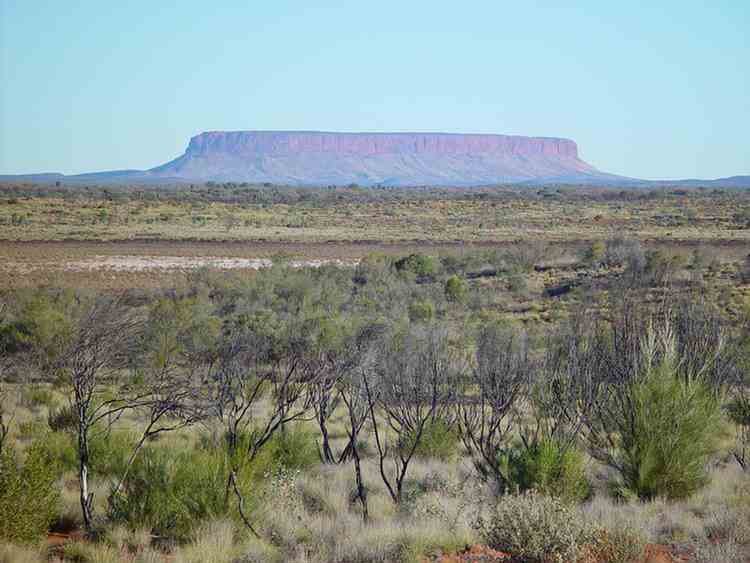
Mount Connor
And so on the bitumen to the Stuart Highway.
We had some spare days so we travelled along part of the Oodnadatta Track from Marla to Oodnadatta
and then through the Painted Desert back to the Stuart Highway at Coober Pedy.
Len Beadell, an army surveyor, was given the task of carrying out an initial survey of the area
that was to become the Woomera Rocket Range.
He continued to work on the rocket range after his discharge from the army and was responsible for the
construction of over 6000 km of roads through 2.5 million km2 of the Great Sandy, Gibson and Great Victoria deserts.
The first task was to construct a road running west to east across the centre of Australia to provide a major
service access for the construction of all other linking roads.
Being a surveyor who liked to draw neat lines on maps, he decided to site roads in areas where long straight lengths could be built.
This would maximise the efficiencies of distance, fuel and maintenance.
He light-heartedly called his small group of seven the "Gunbarrel Highway Construction Party" as a reference
to the alignment of the roads they were building.
He led his party alone in a Landrover, often working alone many hundreds of kilometres in front of the rest of the crew.
A D6 Caterpillar bulldozer driven by Doug Stoneham followed.
As they started each new section Doug would drive toward a flasing mirror or flare shot high into the air.
After a few minutes Len would continue on with his work and Doug would keep a straight line by sighting back over his shoulder.
Scotty Boord drove the Number 12 Caterpillar grader. Supplies were carried in three 3-tonne trucks and a second Landrover.
Rex Flatxan was the mechanic. Bill Lloyd was the long distance driver who brought up the rations, fuel and water.
Tom Roberts was the cook. Ron Rutherford drove the other Landrover.
He was a general hand who also cleared the road of debris after the last pass of the grader.
The first 150 km of road from Carnegie Station to Mulga Park Station was constructed in 1955.
In 1956 the next 575 km to the site where Giles Meteorological station now stands was constructed.
The last 800 km to Victory Downs Station near the Stuart Highway was finished in 1958.
Nowadays the Gunbarrel "Highway"is the name given to the collection of tracks and roads that lead east from Wiluna
and eventually end up at Uluru. Strictly speaking, the first section from Wiluna to Carnegie Station is not part of the Gunbarrel.
It was an existing road before Len Beadell started blazing the Gunbarrel east of Carnegie Station in 1955.
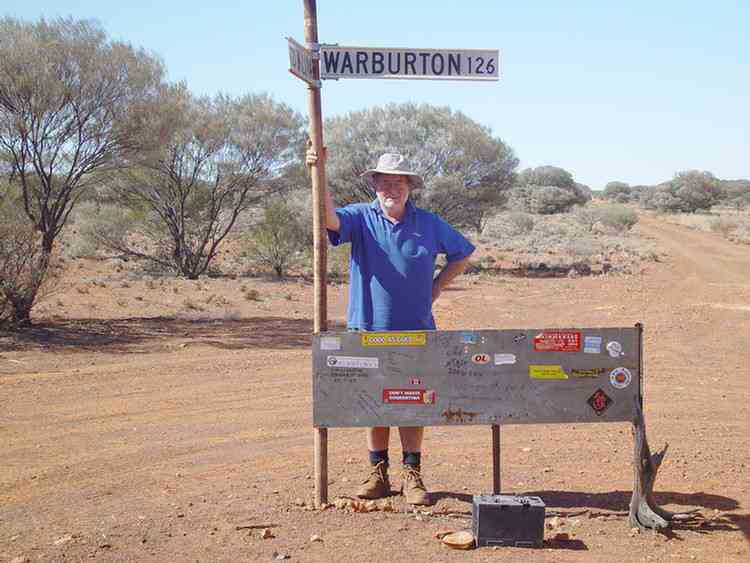
The distances heading east are huge!! This misspelt sign is in Wiluna.
We travelled along the Gunbarrel Highway after reaching Wiluna via Alice Springs,
the Tanami Road and the Canning Stock Route.
The first 400 km or so (to beyond Carnegie Station) is a good gravel road,
well maintained by the Wiluna Shire.
A solar powered pump filling a stock dam
We had lunch at a very pleasant spot on the banks of Harry Johnstone Waterhole
(named in 1896 after the Surveyor General of Western Australia).
Carnegie Station
David Carnegie passed this way looking for gold in 1896.
The station was first taken up in 1938.
Originally a large station of almost 4000 km2,
it has been amalgamated with other stations over the years and now covers over 21,000 km2.
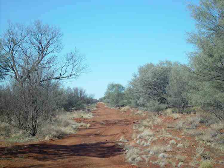
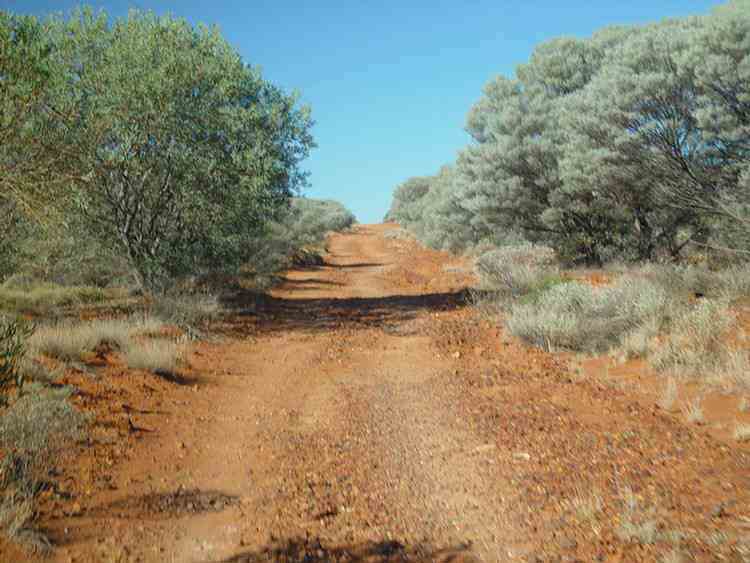
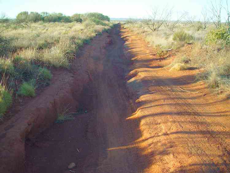
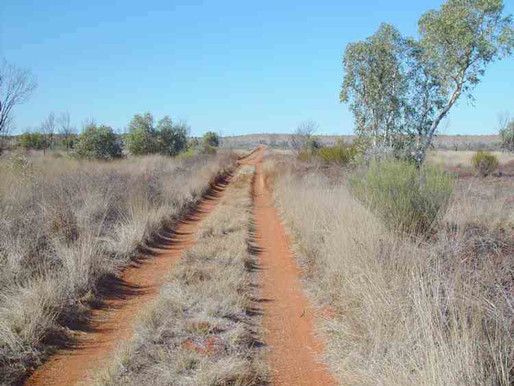
The true Gunbarrel "Highway"
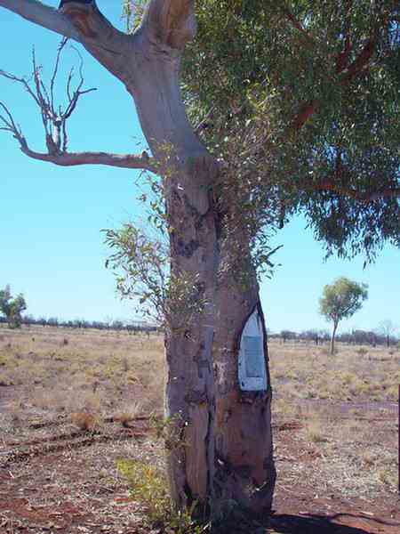
One of a number of Len Beadell trees
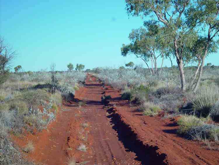
The Gunbarrel "Highway" is not maintained.
Parts of it have become very corrugated due to vehicles travelling too fast.
Sections of the Gunbarrel were in worse condition than the Canning Stock Route.
Everard Junction
The Gary "Highway" was built by Len Beadell in 1963 shortly after his son Gary was born.
It runs to Windy Corner where the Talawana Track goes to Well 33
on the Canning Stock Route and on to Newman.
Further north the Gary "Highway" joins the Kidson Track
(to Well33 and on to Marble Bar) and the Callowa Track to Well 35.
Mount Beadell
Len Beadell's former campsite near Mount Beadell
Heather "Highway" Junction
The Heather "Highway" was built by the Hunt Oil Company and was named after Heather Hewitt,
daughter of the superintendent at Warburton at the time.
Jackie Junction named by Len Beadell after his daughter, Jacqui
Desert Oaks
(Kurkara)
(Allocasurina descaisneana)
We all loved them.
These 8-12 metre high picturesque trees display a broad
weeping canopy which adds to their beauty.
The Acacias sprout again after fire ....
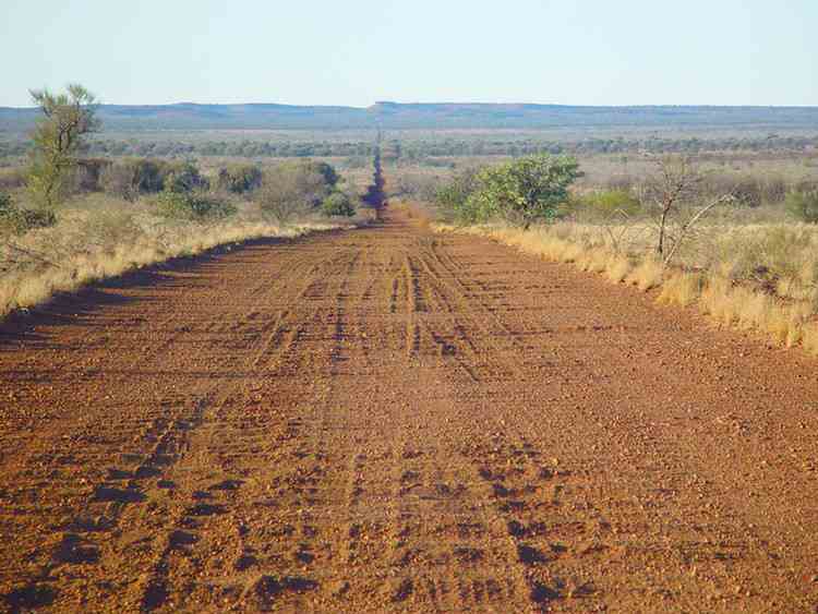
The Gunbarrel grader
From Giles we travelled 85 km to the WA-NT border.
Beautiful, beautiful Namatjira country in the late afternoon sunshine.
Across the WA-NT border to Docker River
Kata Tjuta (The Olgas)
Walpa Gorge
Walpa means wind in Yankunytjatjara and Pitjantjatjara, the indigenous languages of the area.
Kata Tjuta is sacred to Anangu men. The traditional Law for Kata Tjuta is still learnt and passed on today.
Under this Law, detailed knowledge of the area is restricted to certain people only.
It is forbidden to pass this information on to the wrong people.
Therefore the creation stories of the area are not available.
In the old days the Anangu people would walk to the area from the lands that we have recently passed through in the west.
The stream passing out of the Walpa Gorge has always been an important source of water.
Women would camp well back from the Gorge.
Uluru
Mount Connor
And so on the bitumen to the Stuart Highway.
We had some spare days so we travelled along part of the Oodnadatta Track from Marla to Oodnadatta
and then through the Painted Desert back to the Stuart Highway at Coober Pedy.
![]()