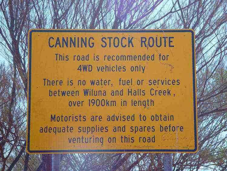
The Canning Stock Route
The Canning Stock Route is one of the great adventures in the Australian outback.
The 1900 plus kilometre track links Halls Creek in The Kimberley with Wiluna, which is 550km north of Kalgoorlie.
Alfred Canning guided the original survey party in 1906.
He also led the well construction team in 1908-10 which constructed 51 wells.
A few extra wells have been constructed in later years in the southern parts of the route
where sheep have been driven between stations.
Kimberley pastoralists pressured the Western Australian government for the original survey.
Their cattle were being taken to Perth by ship at considerable expense.
They envisaged a possible alternative way to market by an overland cattle drive to Wiluna and then by rail to Perth.
The cattle tick which was in plague proportions in the humid Kimberley was another factor supporting this alternative.
The tick could not survive the dry conditions through the western deserts of this route.
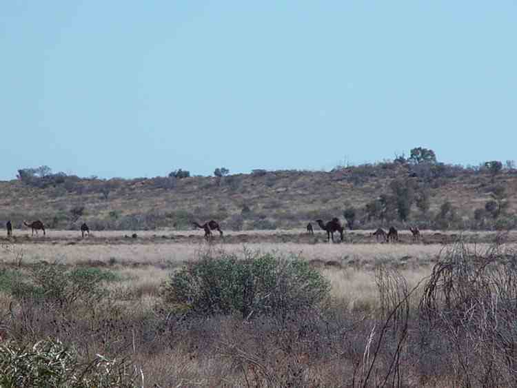
In all, however, there were only about 30 cattle drives along the route.
Problems with the Aboriginals, the decline of the Eastern WA goldfields and the opening, in 1919,
of the meatworks in Wyndham were contributing factors.
The first cattle drive was in 1911, and the last in 1959 - the cattle mobs were between 300 and 800 head.
Although motorised vehicles have travelled on parts of the route from early days,
the first vehicle to drive the full length of the Canning Stock Route was in 1968.
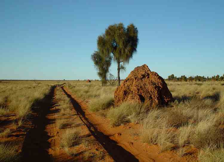
They took 34 days. We spent 15 days on our trip. There are more than 950 sand dunes to cross.
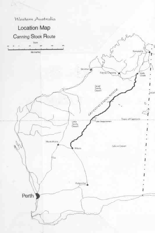
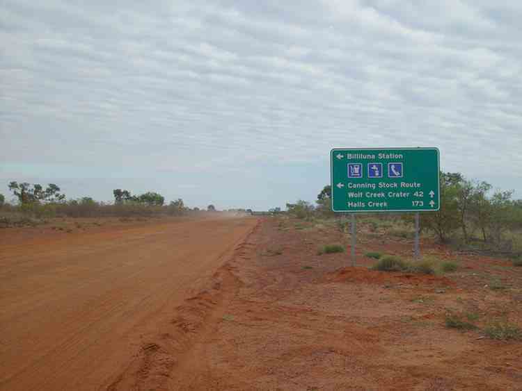
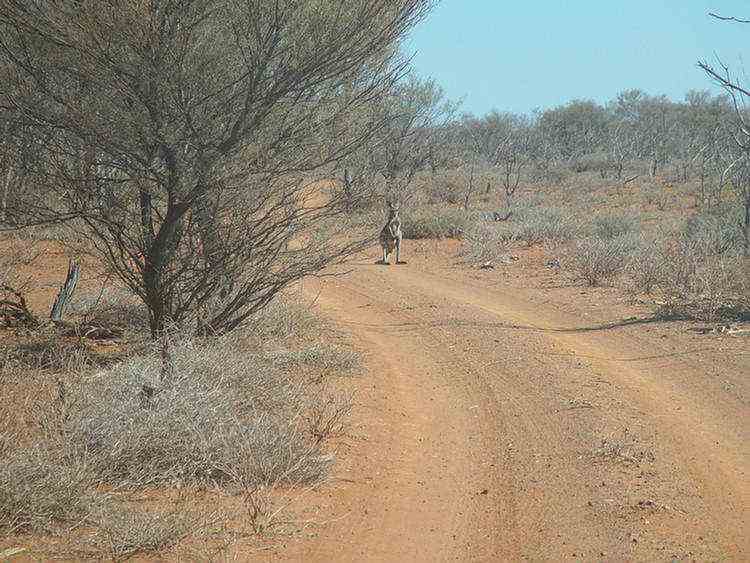
We travelled to the start of the stock route via Alice Springs and the Tanami Road.
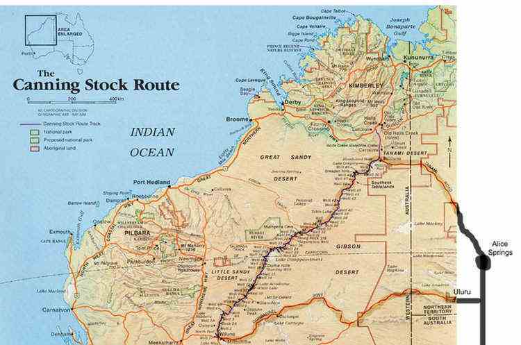
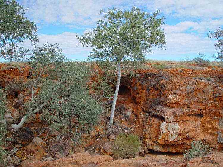
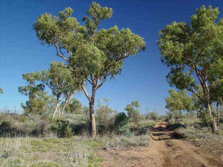
The track starts near the Billiluna Aboriginal Community about 170km south of Halls Creek ò
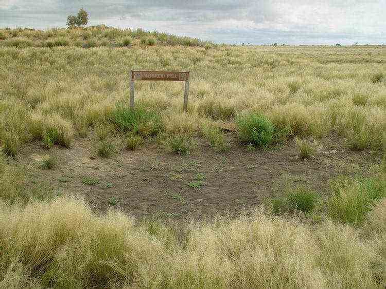
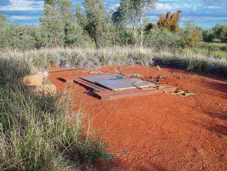
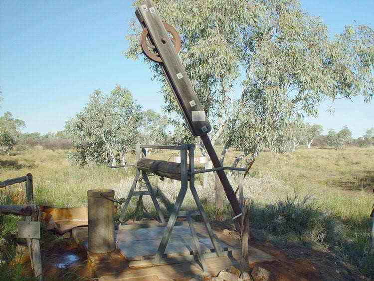
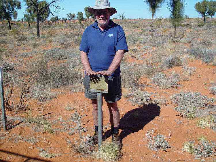
Well 51, WERIADDO, was the northernmost well constructed by Canning.
Actually it was Hubert Trotman, Canning's deputy, who carried out its construction.
Canning had gone on to Halls Creek to replenish supplies.
North of this well the drovers could follow the pools in Stuart and Cow Creeks.
However most of the cattle that went down the Canning Stock Route came from Billiluna station.
There is just a depression in the ground here now. ò
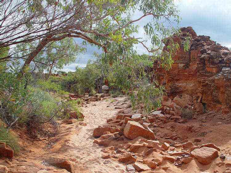
Well 50, TJAN, is 20km from Well 51.
It is situated on the edge of a small claypan surrounded by Snappy Gums.
By the time Canning reached Well11, he could see the value of giving aboriginal names
to the water points so that drovers could ask directions from the local natives. ò
Well 49, LAMBU, has some of the most refreshing, sweet tasting of all the wells on the Canning Stock Route.
Treks Australia repaired this well in 2001. ò
Breaden
Pool
(Kunningarra),
at the end of a
valley in the
Breaden Hills, is a delightful spot. ò
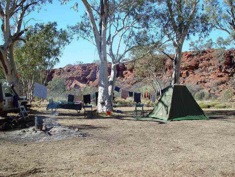
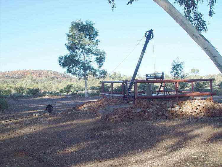
Bill, the driver of one of our 5 tag-along vehicles brought a dozen sleeper sized planks to repair
the above-ground timber of this well.
With a generator, power tools and a chain saw, it only took a mornings work for the Treks across Australia group.
This is a photo of the existing timber before the repairs ò
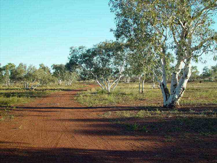
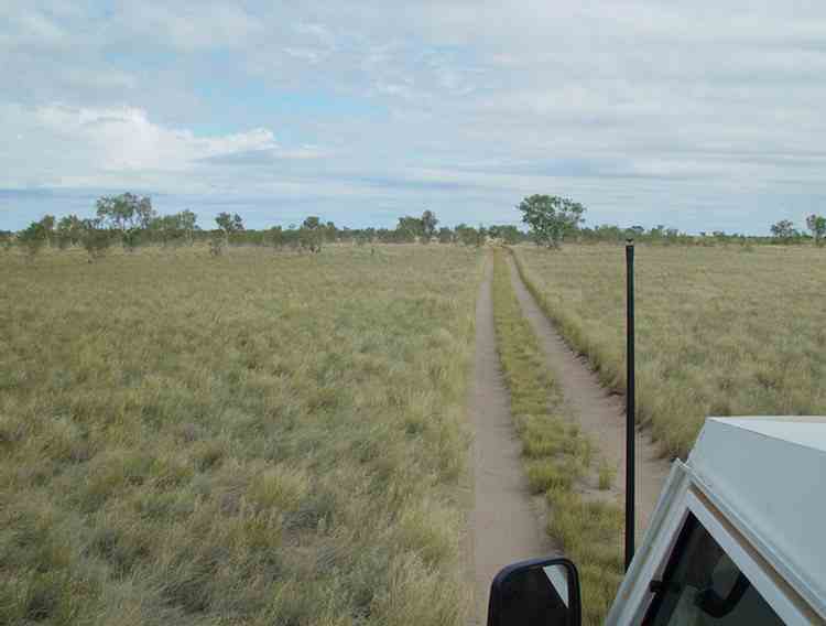
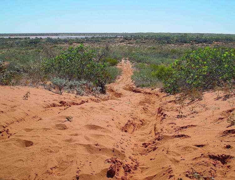
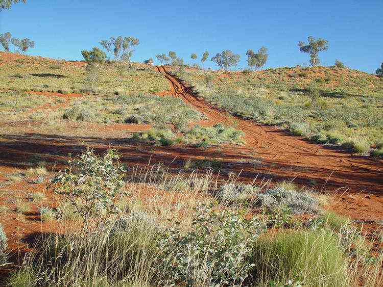
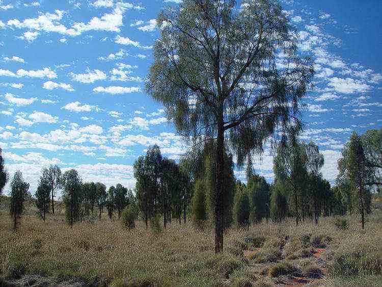
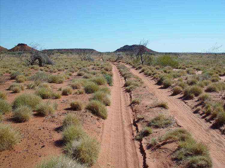
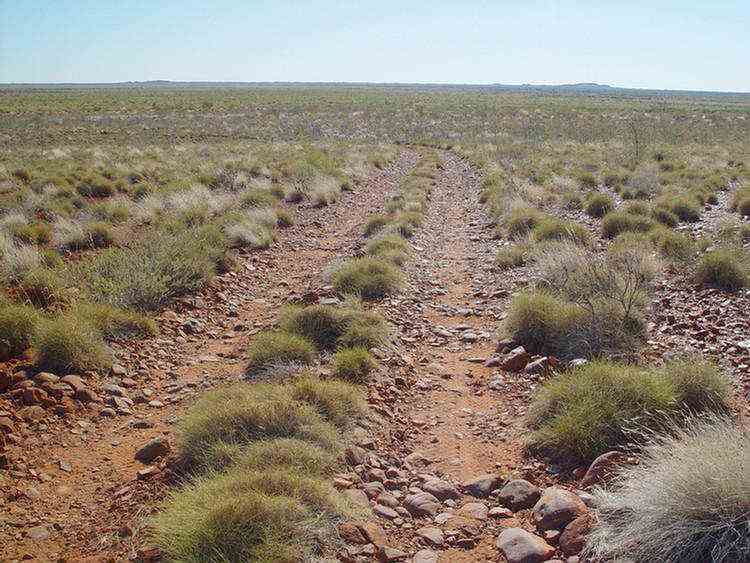
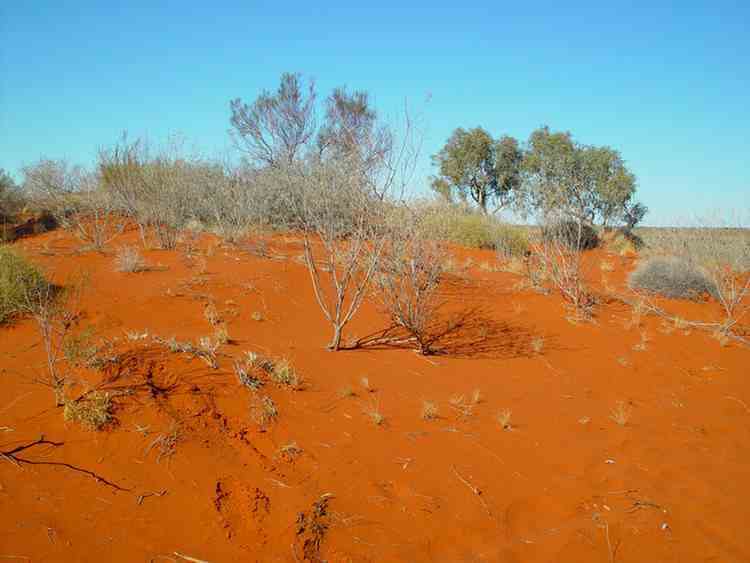
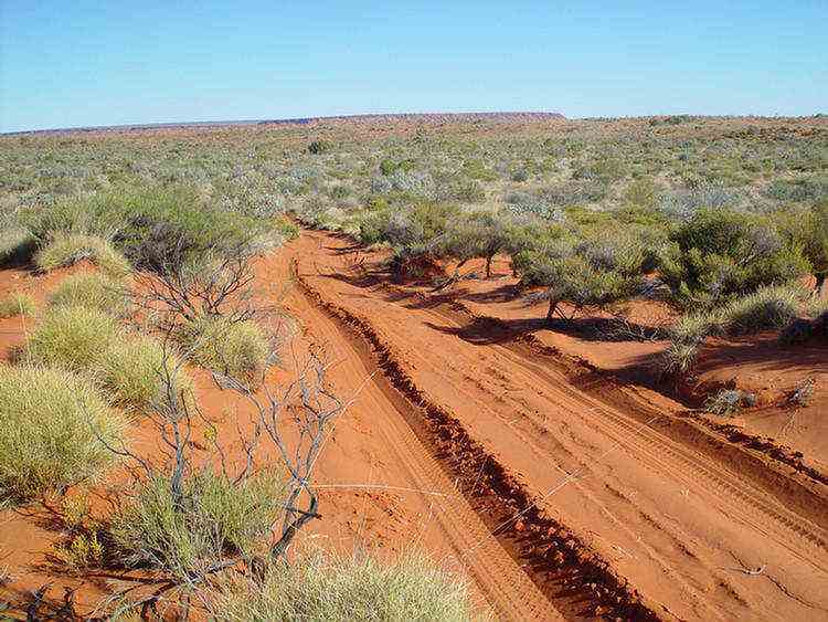
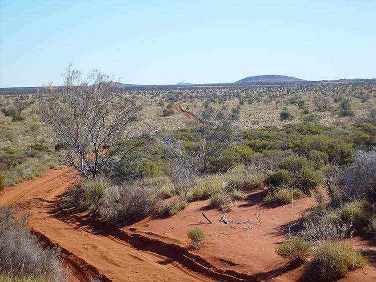
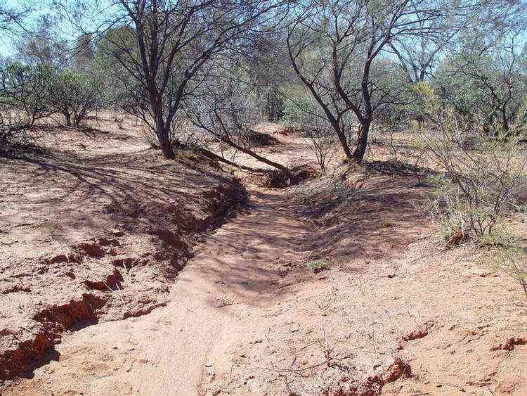
... into the sand dune country.
The distance between the dunes varied from about 500 to 1000 metres.
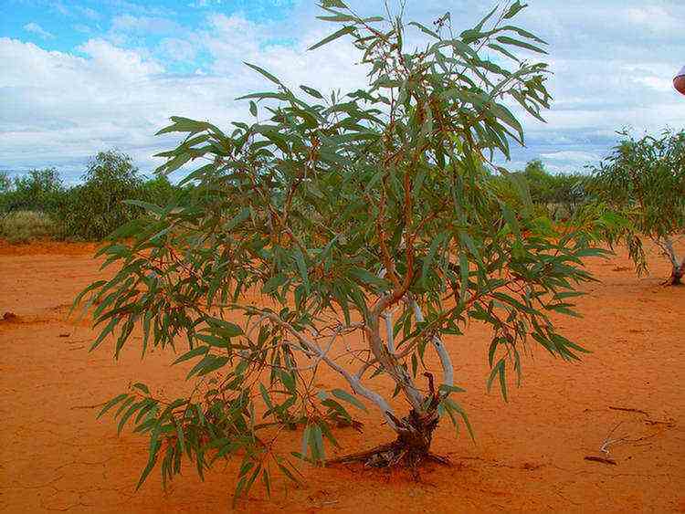
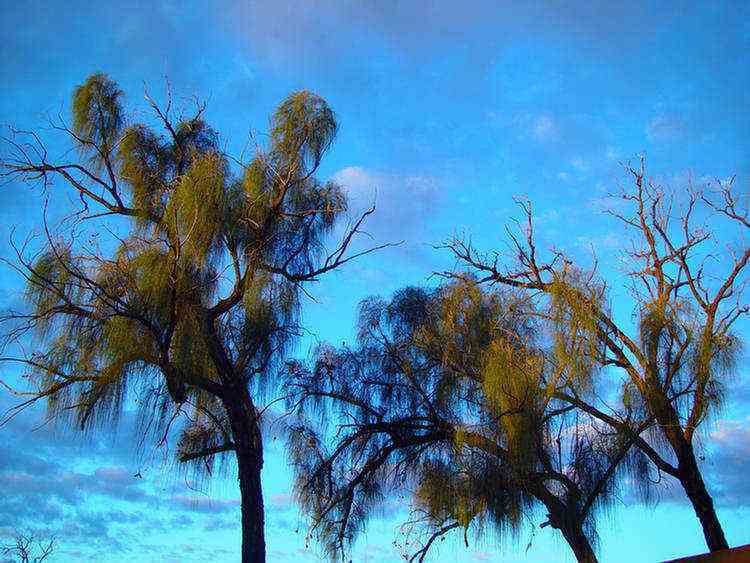
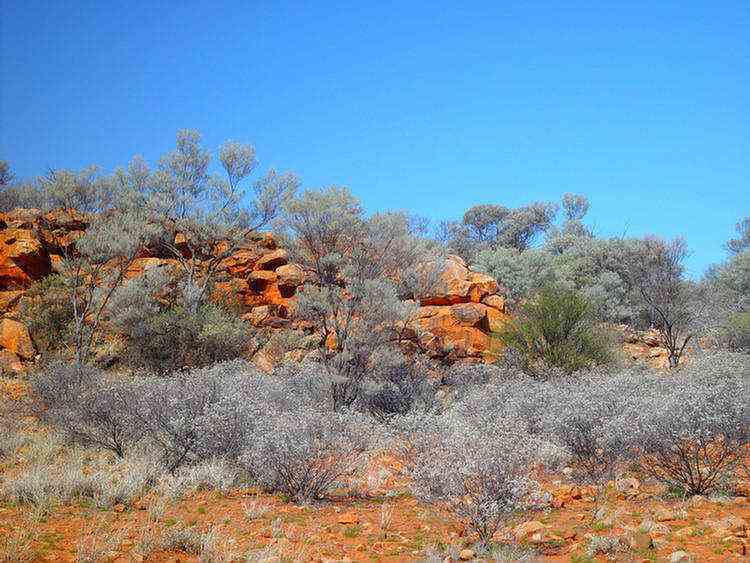
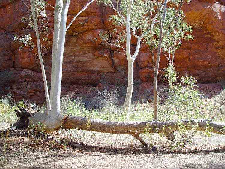
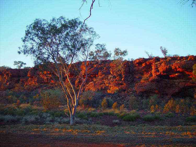
Beautiful scenery with the red sand, blue skies, yellow acacias, green spinifex and an occasional white-trunked gum tree
on the top of the dune.
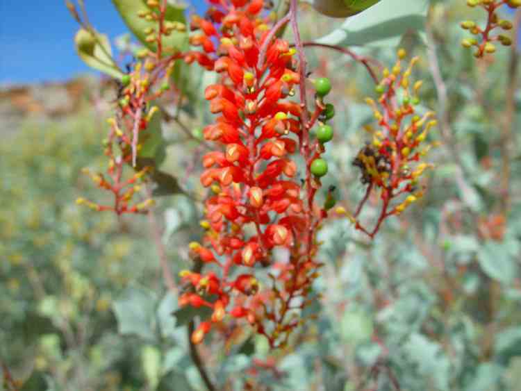
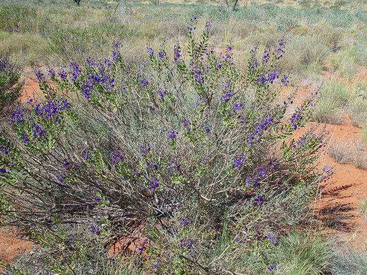
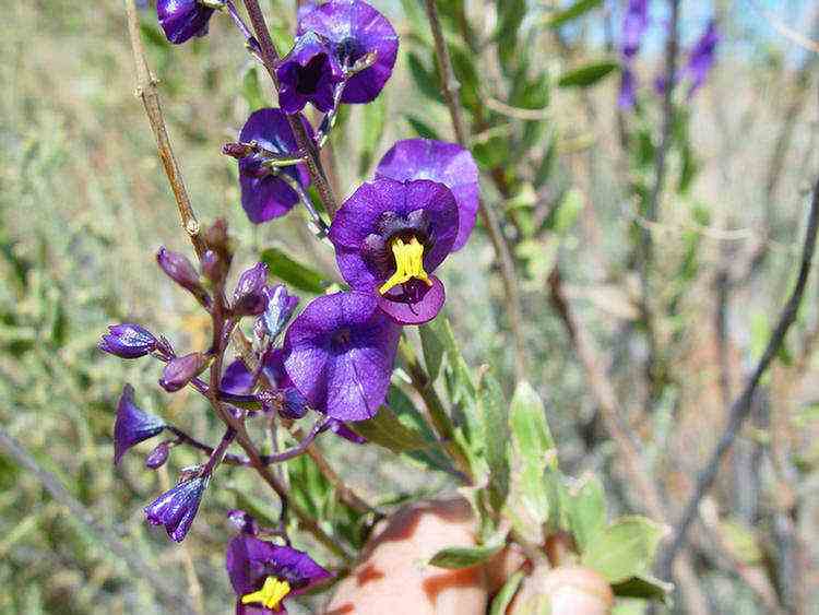
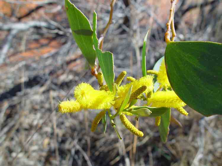
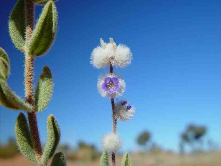
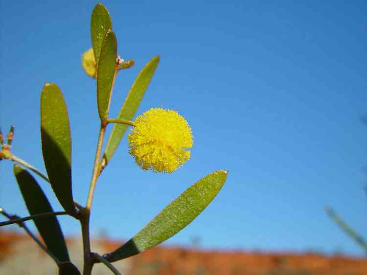
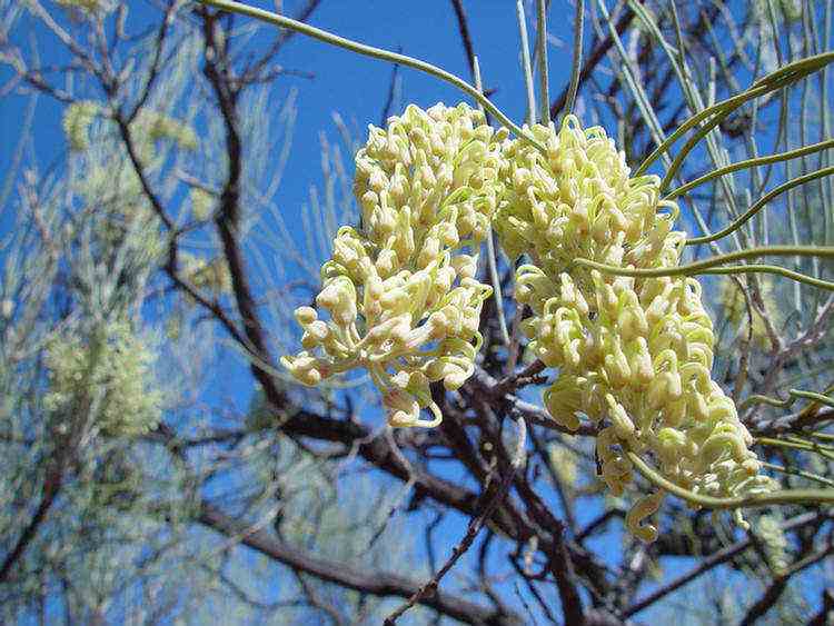
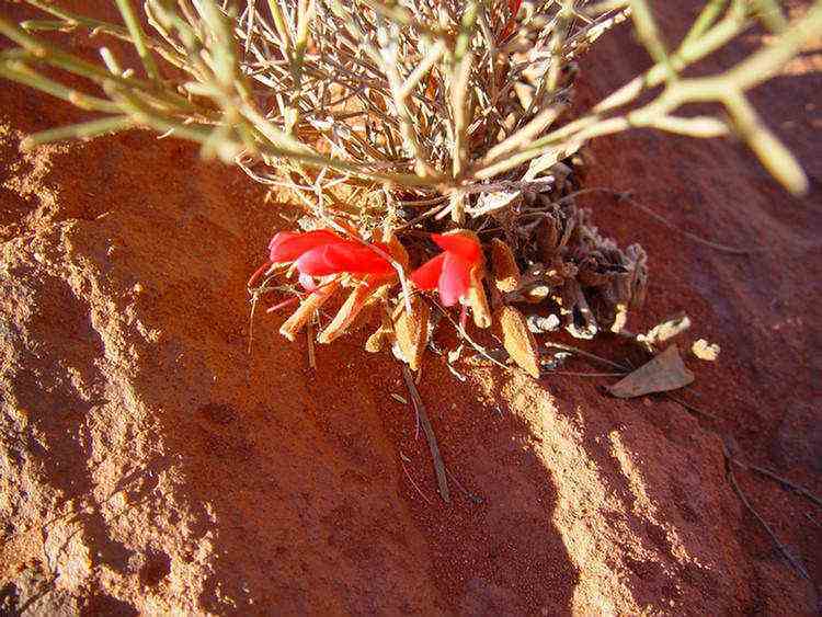
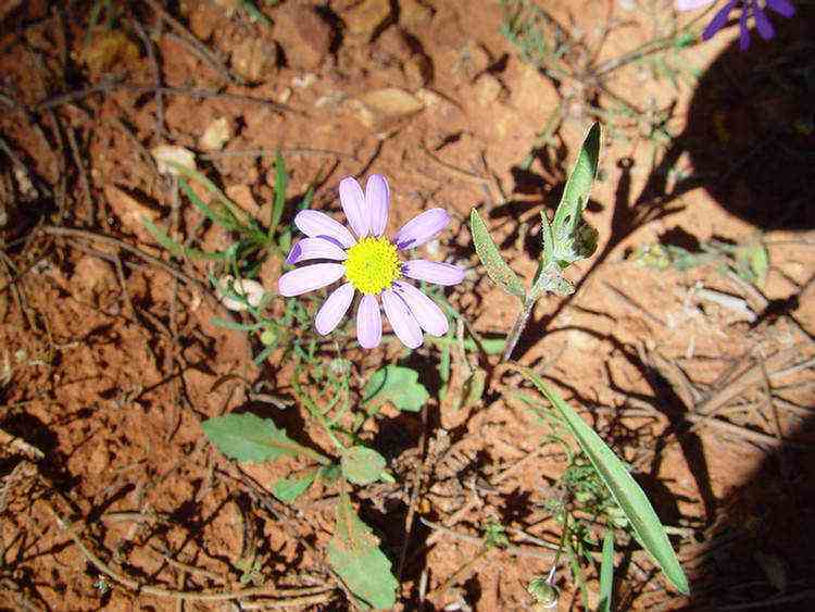
The beautiful flowers of Tinsel bush ò
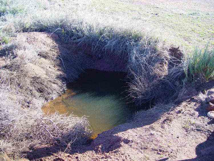
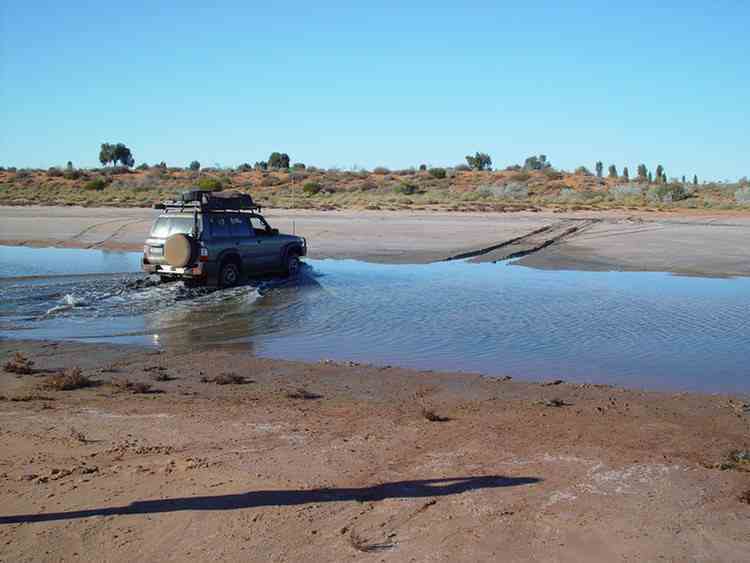
Water 38 - WARDABUNNI
A beautiful spot ... the photos say it all ....
There is an Aboriginal soak near Well 27. It has been a native tool making area.
In 1993 a group of Japanese motorcyclists scattered the ashes of one of their former friends in this area.
He was to come on the trip with them but was killed in an accident before leaving Japan.
A pair of Bustards. They are also called Plains Turkey or Wild Turkey.
Well 26 - TIWA This well has been restored in 1983.
Well 25 - WARNTILI
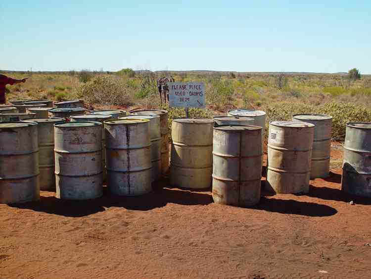
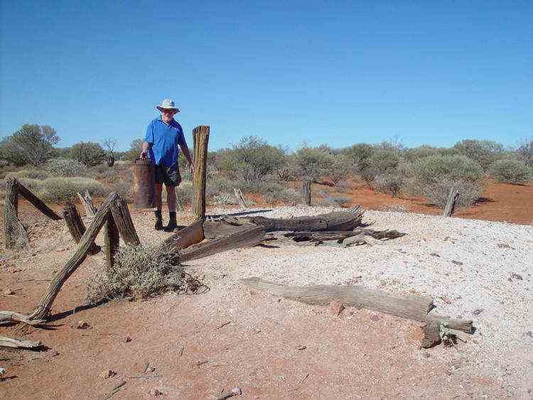
About 300 metres away from Well 23 on a sidetrack is a fuel dump.
The fuel was delivered by Kevin Roney of the Capricorn Roadhouse near Newman,
460 km away along the Talawana Track.
Up until 1994 this task was carried out by Bill Shepherd but he has now retired.
For 20 years he carted thousands of drums of fuel for travellers and mineral exploration companies.
Georgia Bore, which was sunk by CRA Exploration in the 1970s.
They had a camp on the site for a couple of years.
At the Tropic of Capricorn (23o 26' 30"S)
ONEGUNYAH Rockhole
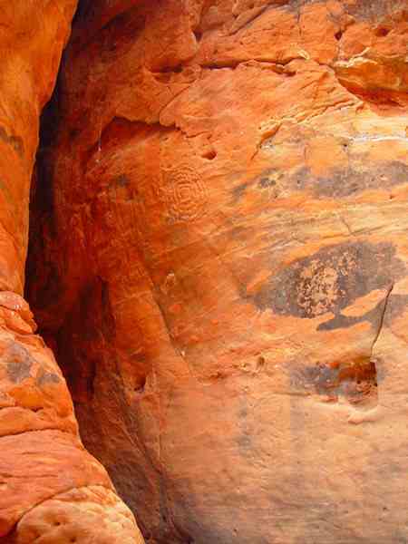
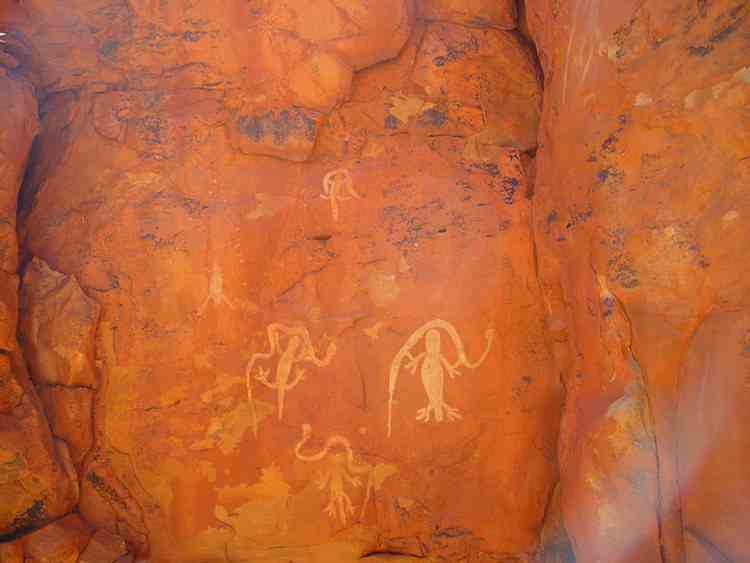
This area was set aside as a women's sacred area many thousands of years ago.
There were some Aboriginal paintings and petrogylphs here.
Well 18 - WANYKIYU
This was the second well that Treks Australia restored (in 1999).
There is very good water and Brown Means Frogs in this well.
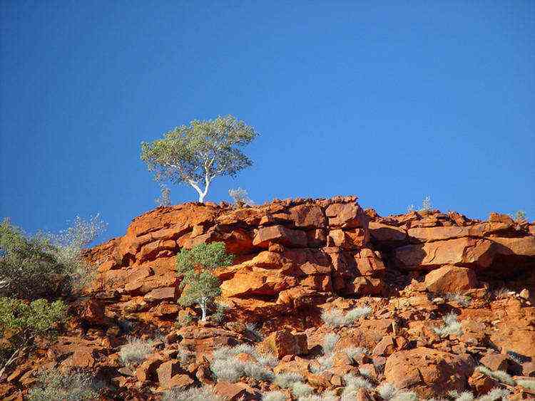
Great views of the Durba Hills from the tops of the sand dunes.
Durba Springs
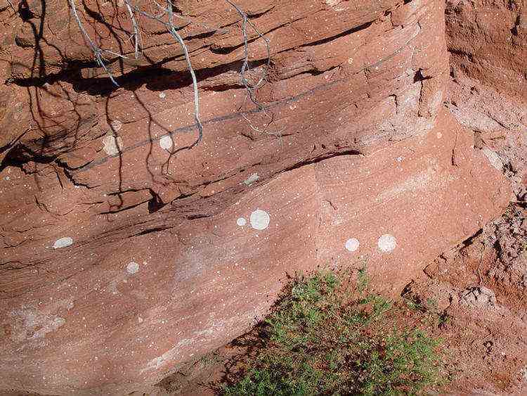
A beautiful spot with white gums (Eucalyptus Camaldulenses), red rocks, green grass and blue skies.
Nearby on the western face of the red sandstone wall are hundreds of white round dots of varying diameters,
looking for all the world like a red and white polka dot dress pattern.
A possible theory is that are fossilised root remains.
Well 13 - PULPURUMAL

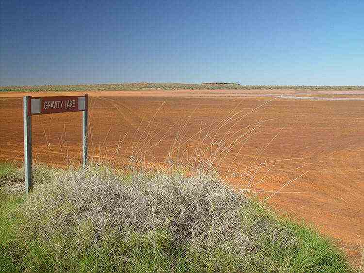
Lake Aerodrome
In 1929, part of Snell's commission was to look for
aircraft landing grounds every 50 miles or so.
He considered that this lake bed, when dry, would make a suitable landing surface.
Well 10
Drovers called this the "Lucky Well".
By reaching it they had conqured the sand dunes and were now in pastoral country.
The remaining wells are also closer together.
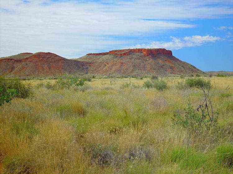
Ingebong Hills
Well 6 - Pierre Springs
This well was restored by the Geraldton 4WD Club in 1991
It is one of the prettiest sites around a well on the whole of the Canning Stock Route.
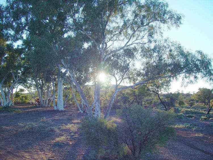
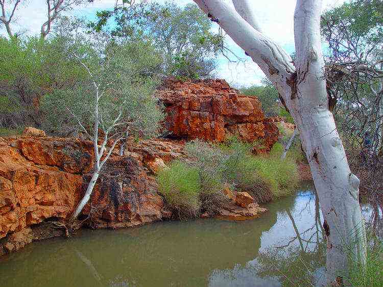
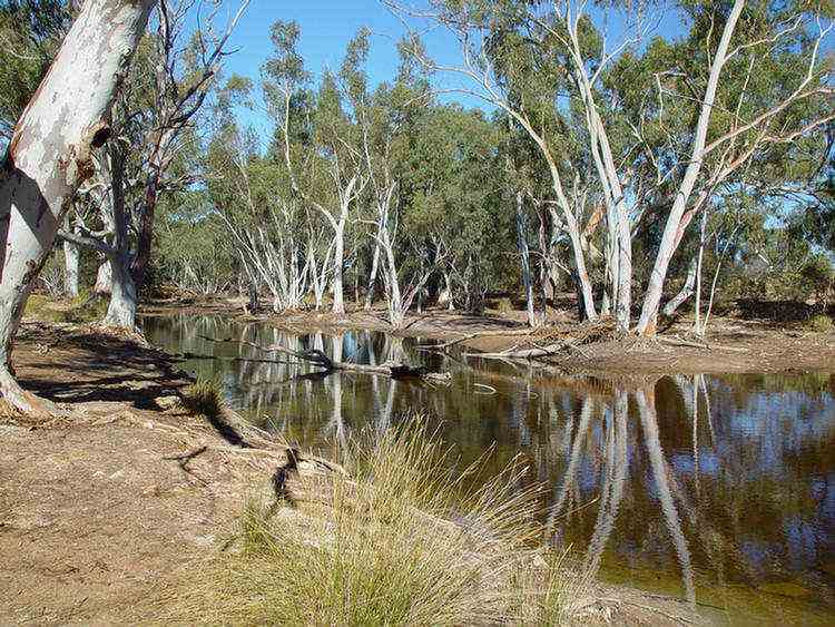
Windich Springs is situated on Kennedy Creek.
John Forrest and his party found this spring in 1874.
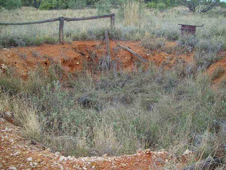
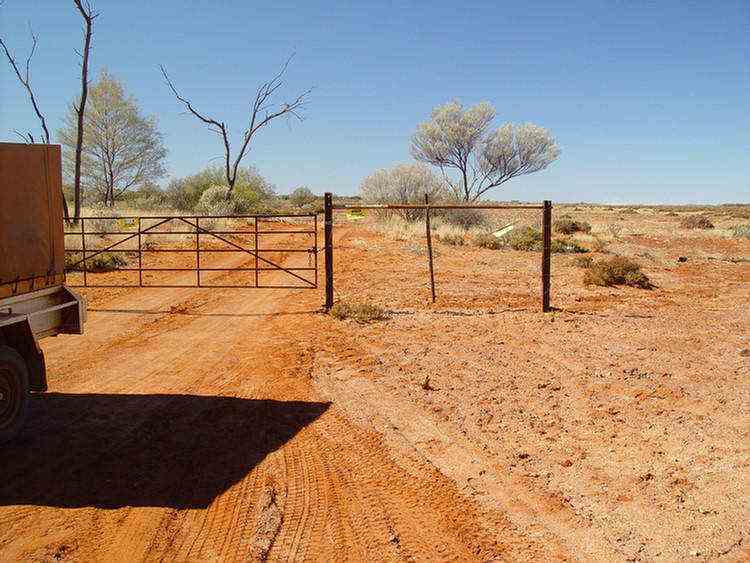
A fence! The first in 14 days!
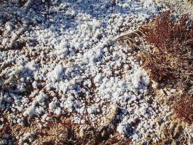
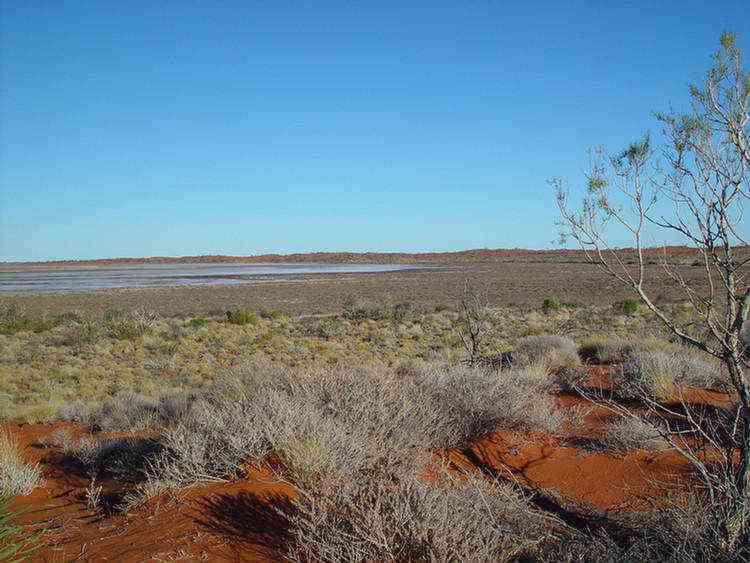
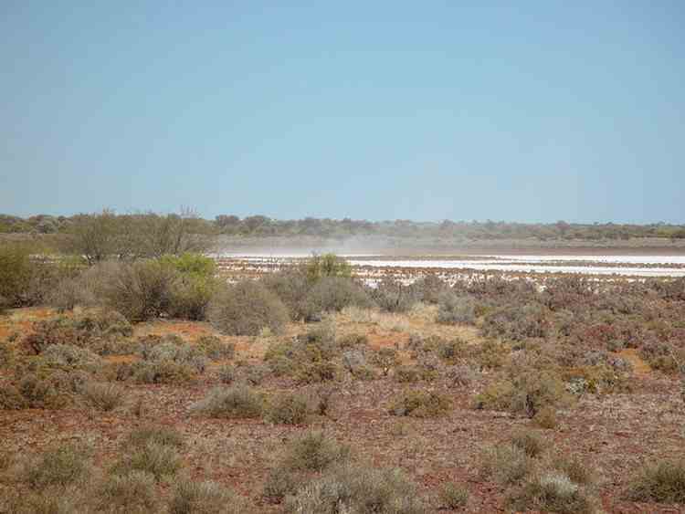
Salt blowing off Lake Nabberu like a dust storm.
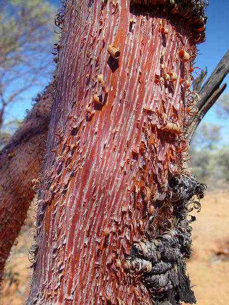
In the creek beds along here were a rare type of Mulga.
These Red-barked Mulga or Minnaritchie trees (Acacia Cyperophylla) all appear as if they have been
whittled by someone with a knife and present a most unusual sight.
They have curly red bark, sparse foliage and grow in a narrow band of latitude.
Well 2
Well 2 was the last well that we visited. Nothing remains at the site of Well 1.
So we have finished the Canning Stock Route (in 15 days).
From here it is onto the Meekatharra Road and 39 km to Wiluna.
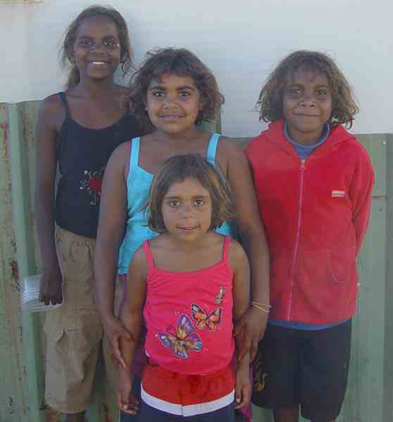
Some of the friendly people in Wiluna .....

Wiluna is about 550 km north of Kalgoorlie. Gold was found near here in 1892.
By 1938 the population peaked at about 9000 with more than 1000 men working in The Big Mine.
After the mine closed in 1947 the population dwindled.
Only about 250 people live in the area today. There is a gold mine operating today (Jundee).
There are 4 teachers at the school. I spoke to the Principal.
They have 109 students on the rolls but there were only 62 there that day.
From Wiluna we travelled on the Gunbarrel Highway to Uluru.

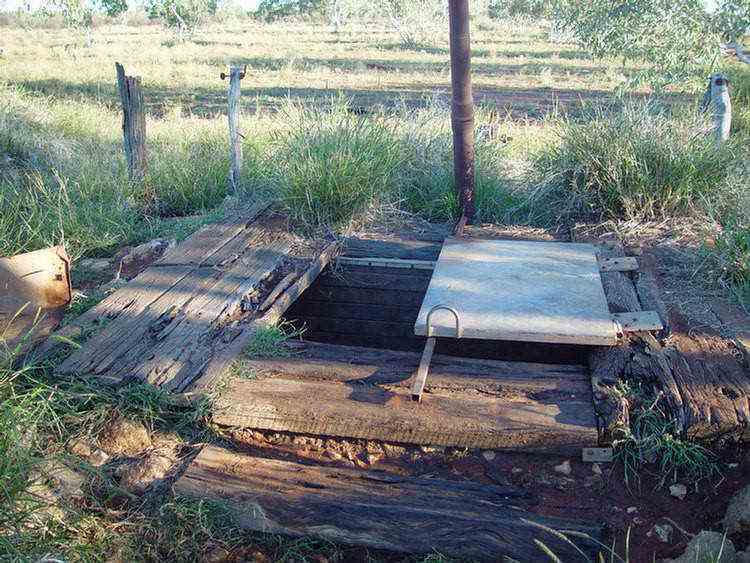
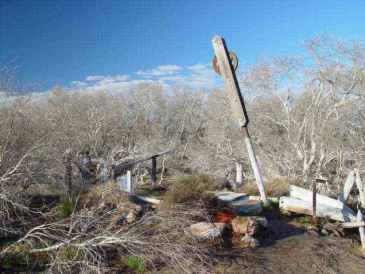
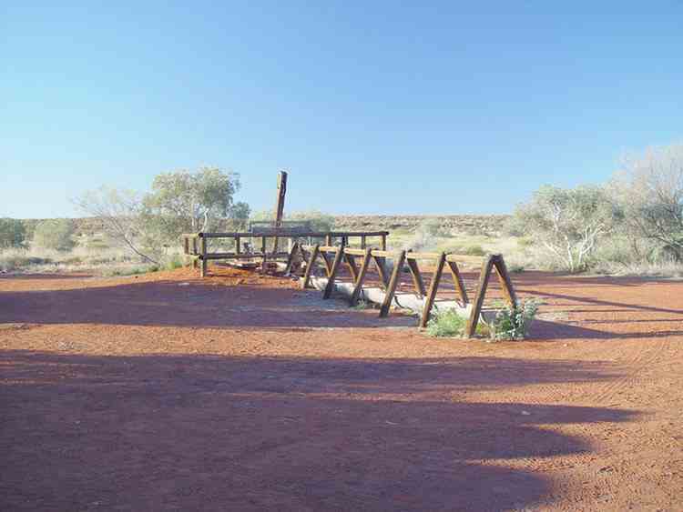
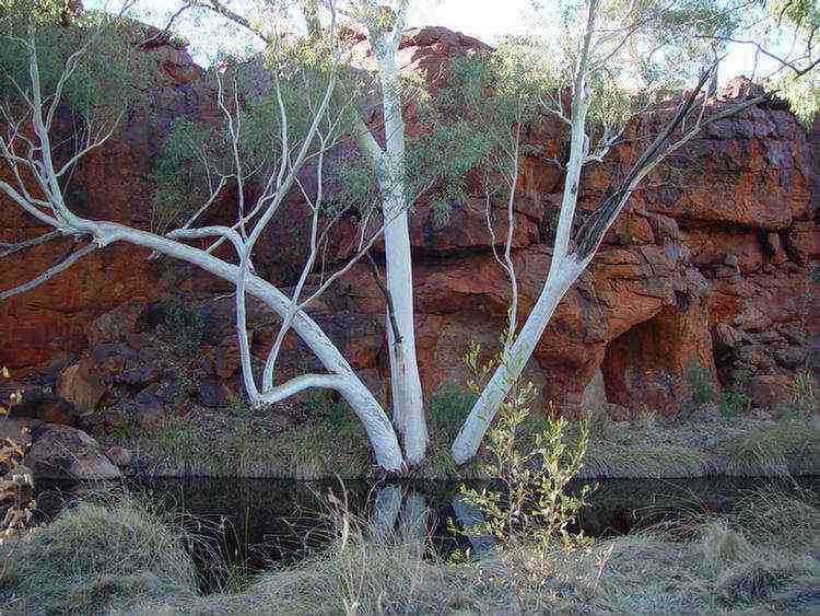
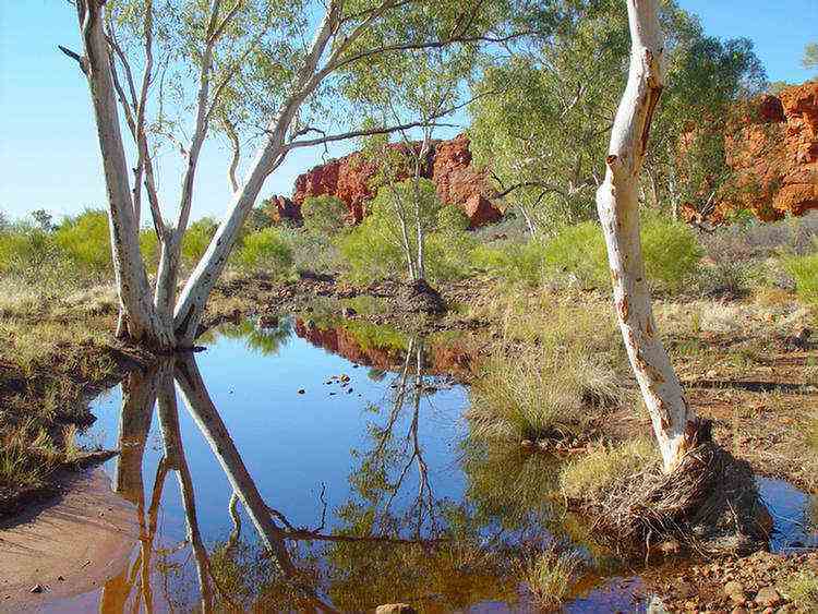
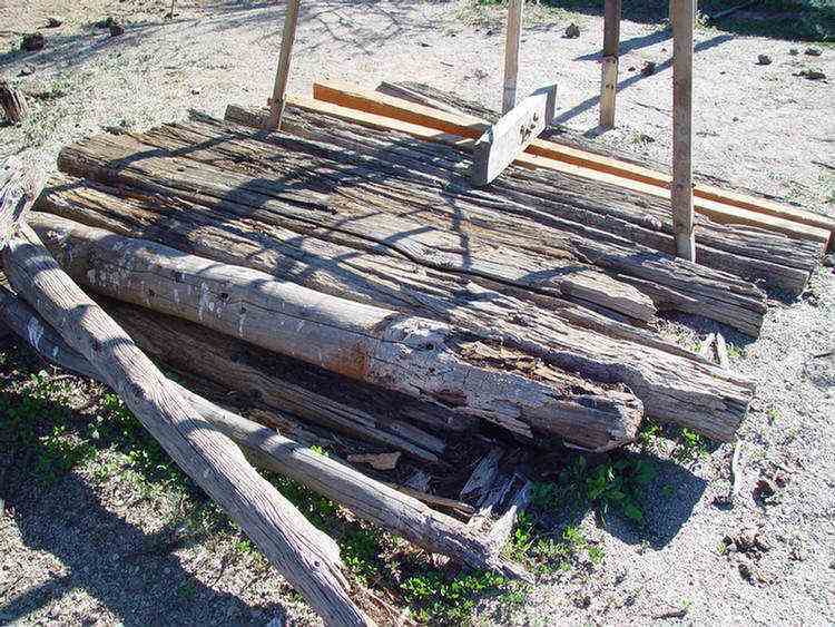
Well 46 -
KUDUARRA
This
well has good water. We spent 2 nights here. Bill, the driver of one of our 5 tag-along vehicles brought a dozen sleeper sized planks to repair
the above-ground timber of this well.
With a generator, power tools and a chain saw, it only took a mornings work for the Treks across Australia group.
This is a photo of the existing timber before the repairs ò
... into the sand dune country.
The distance between the dunes varied from about 500 to 1000 metres.
Beautiful scenery with the red sand, blue skies, yellow acacias, green spinifex and an occasional white-trunked gum tree
on the top of the dune.
The beautiful flowers of Tinsel bush ò
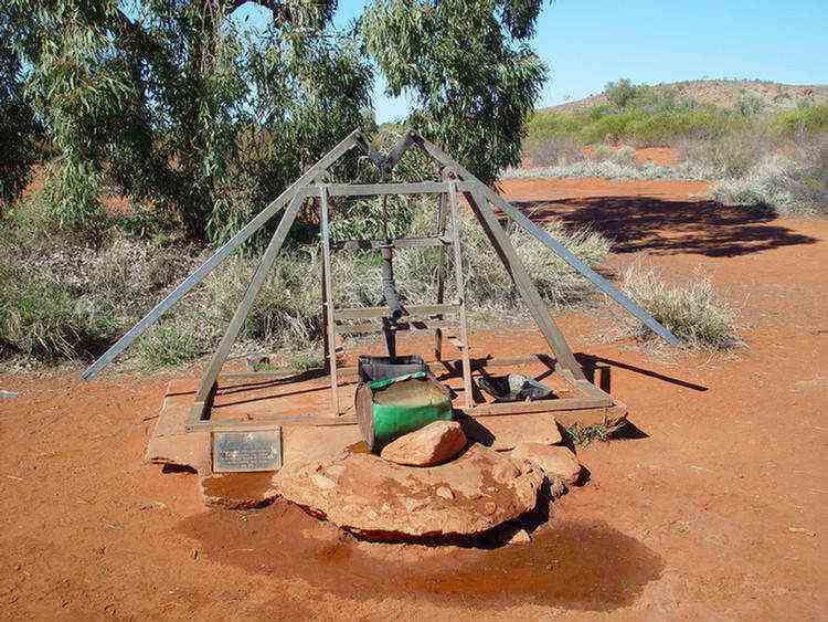
Well 41 - TIRU
The
distance, 65 km between Wells 42 and 41 is longest vehicle
distance between any of the wells on the whole stock route.
On top of this there are more sand dunes between these two wells (46) than any other section. They are also the highest.
The reason for all of the dune crossings is that in 1962 when Harry (Bill) Johnson, a National Mapping surveyor,
made the vehicle track, he was looking for the highest points to locate his trigonometric points.
Water 38 - WARDABUNNI
A beautiful spot ... the photos say it all ....
There is an Aboriginal soak near Well 27. It has been a native tool making area.
In 1993 a group of Japanese motorcyclists scattered the ashes of one of their former friends in this area.
He was to come on the trip with them but was killed in an accident before leaving Japan.
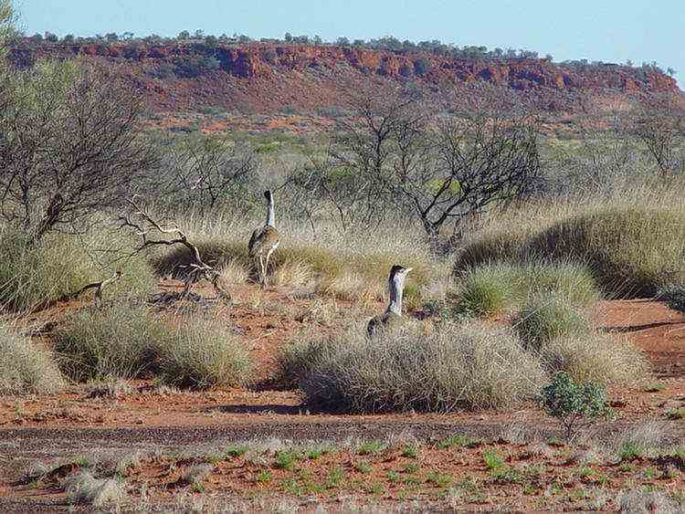
A pair of Bustards. They are also called Plains Turkey or Wild Turkey.
Well 26 - TIWA This well has been restored in 1983.
Well 25 - WARNTILI
About 300 metres away from Well 23 on a sidetrack is a fuel dump.
The fuel was delivered by Kevin Roney of the Capricorn Roadhouse near Newman,
460 km away along the Talawana Track.
Up until 1994 this task was carried out by Bill Shepherd but he has now retired.
For 20 years he carted thousands of drums of fuel for travellers and mineral exploration companies.
Georgia Bore, which was sunk by CRA Exploration in the 1970s.
They had a camp on the site for a couple of years.
At the Tropic of Capricorn (23o 26' 30"S)
ONEGUNYAH Rockhole
This area was set aside as a women's sacred area many thousands of years ago.
There were some Aboriginal paintings and petrogylphs here.
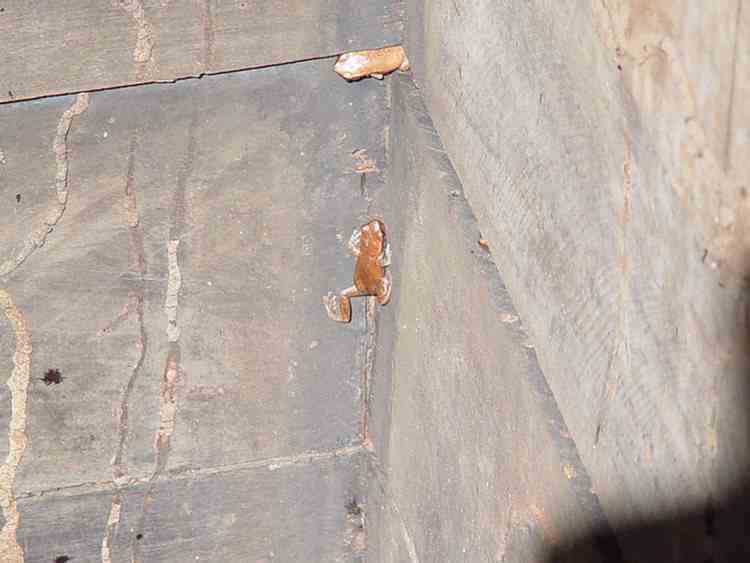
Well 18 - WANYKIYU
This was the second well that Treks Australia restored (in 1999).
There is very good water and Brown Means Frogs in this well.
Great views of the Durba Hills from the tops of the sand dunes.
Durba Springs
A beautiful spot with white gums (Eucalyptus Camaldulenses), red rocks, green grass and blue skies.
Nearby on the western face of the red sandstone wall are hundreds of white round dots of varying diameters,
looking for all the world like a red and white polka dot dress pattern.
A possible theory is that are fossilised root remains.
Well 13 - PULPURUMAL
Lake Aerodrome
In 1929, part of Snell's commission was to look for
aircraft landing grounds every 50 miles or so.
He considered that this lake bed, when dry, would make a suitable landing surface.
Well 10
Drovers called this the "Lucky Well".
By reaching it they had conqured the sand dunes and were now in pastoral country.
The remaining wells are also closer together.
Ingebong Hills
Well 6 - Pierre Springs
This well was restored by the Geraldton 4WD Club in 1991
It is one of the prettiest sites around a well on the whole of the Canning Stock Route.
Windich Springs is situated on Kennedy Creek.
John Forrest and his party found this spring in 1874.
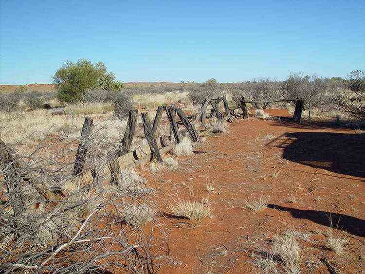
A fence! The first in 14 days!
Salt blowing off Lake Nabberu like a dust storm.
In the creek beds along here were a rare type of Mulga.
These Red-barked Mulga or Minnaritchie trees (Acacia Cyperophylla) all appear as if they have been
whittled by someone with a knife and present a most unusual sight.
They have curly red bark, sparse foliage and grow in a narrow band of latitude.
Well 2
Well 2 was the last well that we visited. Nothing remains at the site of Well 1.
So we have finished the Canning Stock Route (in 15 days).
From here it is onto the Meekatharra Road and 39 km to Wiluna.
Some of the friendly people in Wiluna .....
Wiluna is about 550 km north of Kalgoorlie. Gold was found near here in 1892.
By 1938 the population peaked at about 9000 with more than 1000 men working in The Big Mine.
After the mine closed in 1947 the population dwindled.
Only about 250 people live in the area today. There is a gold mine operating today (Jundee).
There are 4 teachers at the school. I spoke to the Principal.
They have 109 students on the rolls but there were only 62 there that day.
From Wiluna we travelled on the Gunbarrel Highway to Uluru.