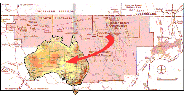
2nd - 16th September 2005
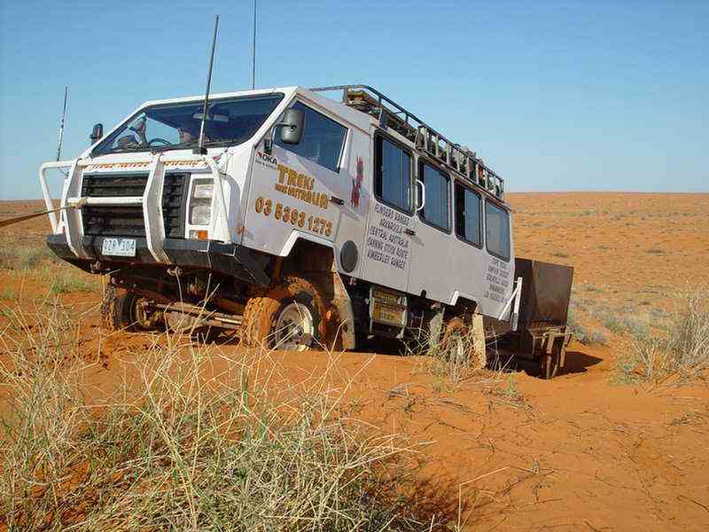
On this organised tour with Treks Across Australia, in their 4WD Oka bus,
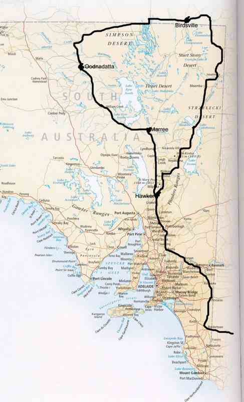
we travelled up through Hawker in the Flinders Ranges to Maree,
then along the Oodnadatta Track through William Creek to Oodnadatta.
A few kilometres from there we headed north past the old Central Australian Railway ruins
at Pedirka and the Dalhousie ruins to Dalhousie Springs.
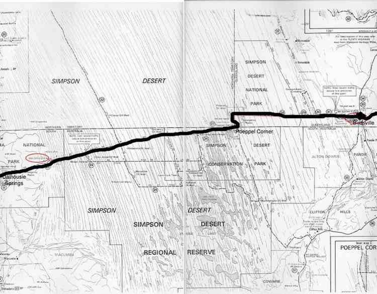
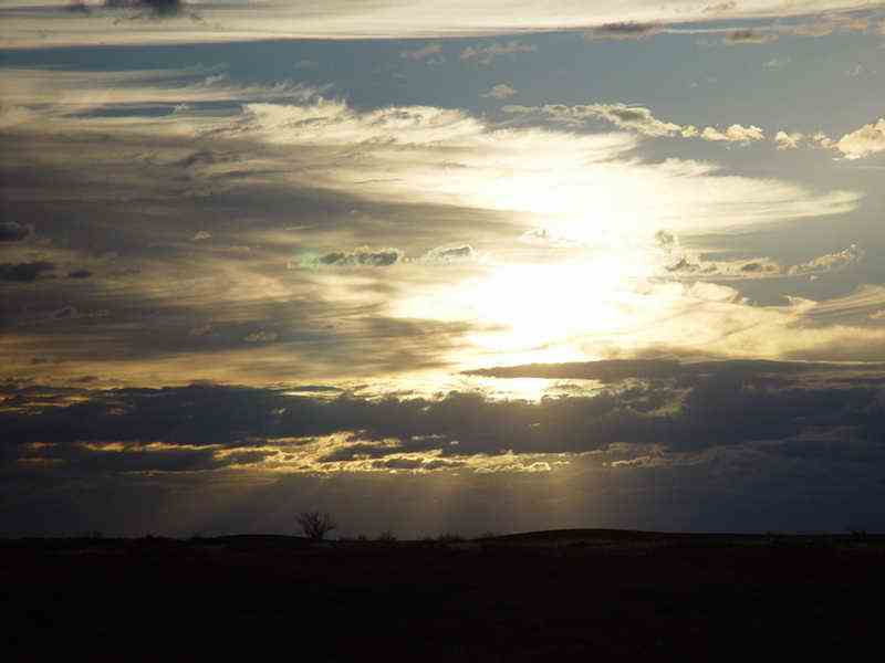
This is where the classic Simpson Desert crossing begins.
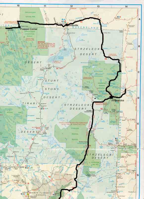
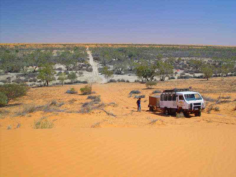
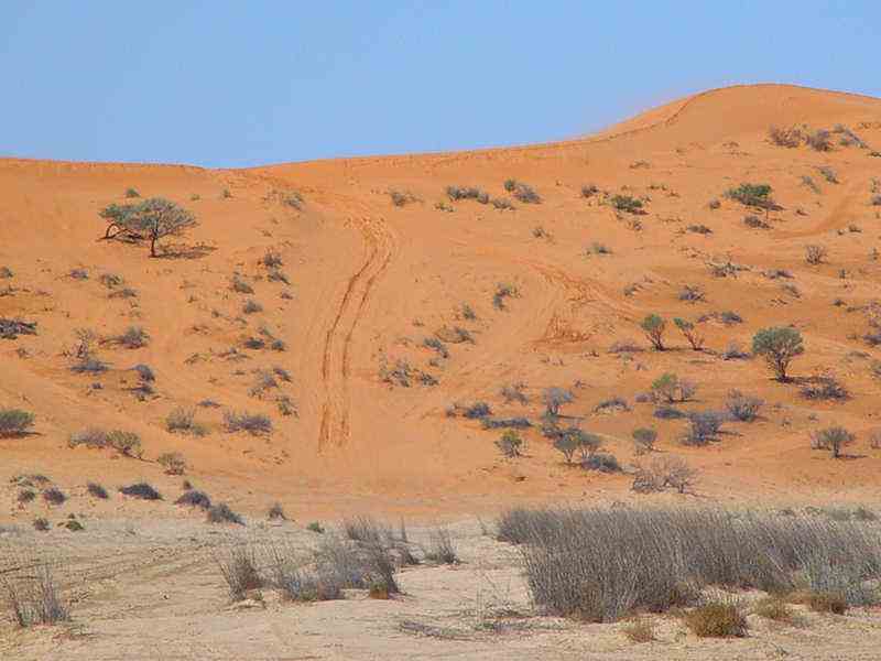
We travelled along the French Line past Purnie Bore to Poeppel Corner.
Then along the WAA Line eventually reaching Birdsville.
From Birdsville we travelled back home through Innamincka and the northern Flinders Ranges.
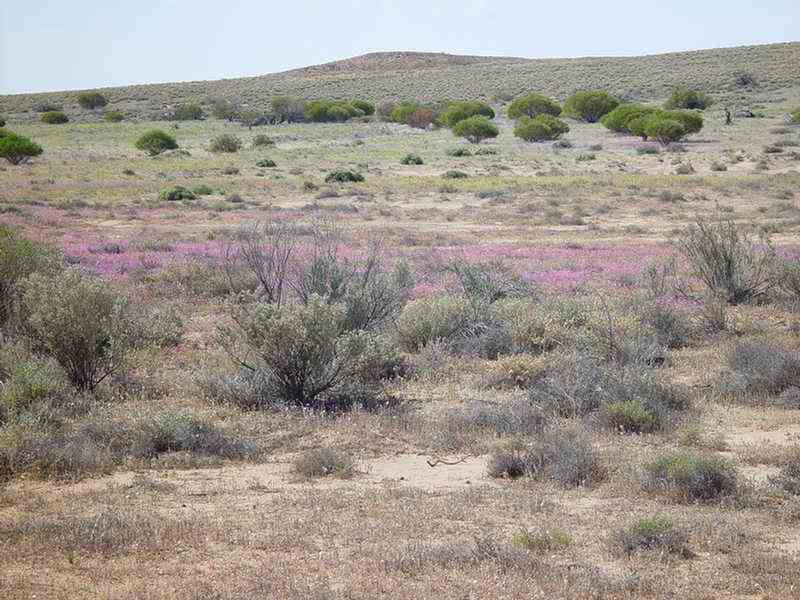
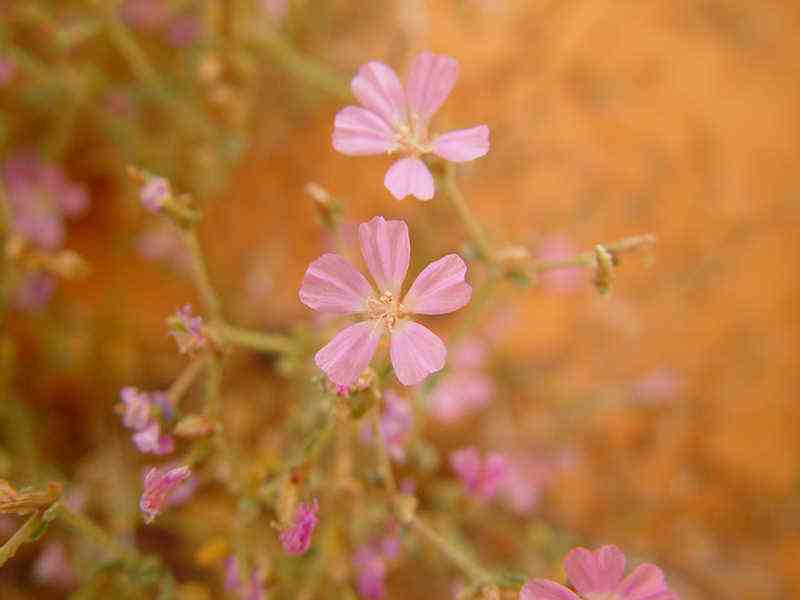
Beautiful
Sturt Desert Peas and other native flowers growing in the gardens at
the caravan park at Hawker.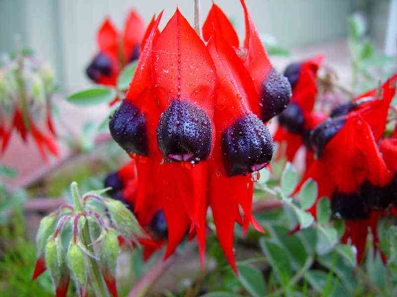
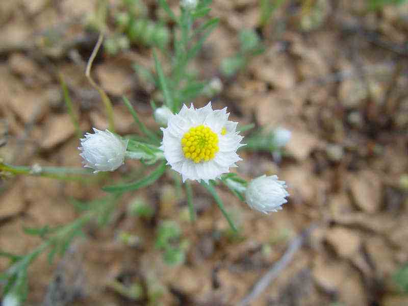
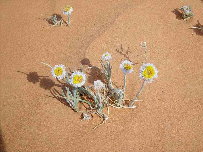
Poached
Egg daisies
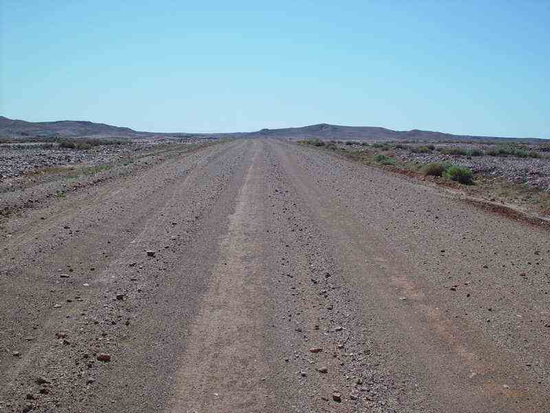
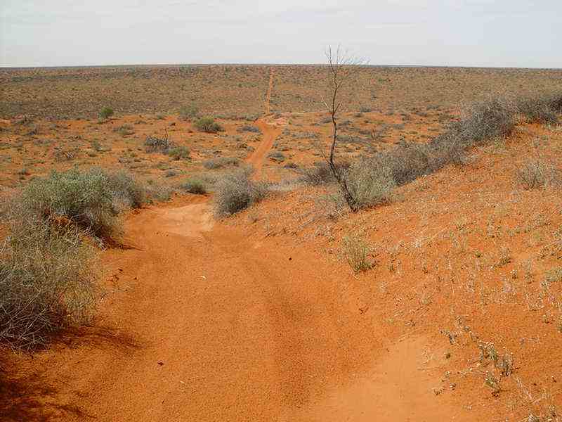
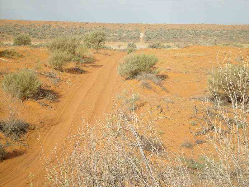
The
Oodnadatta Track near Oodnadatta
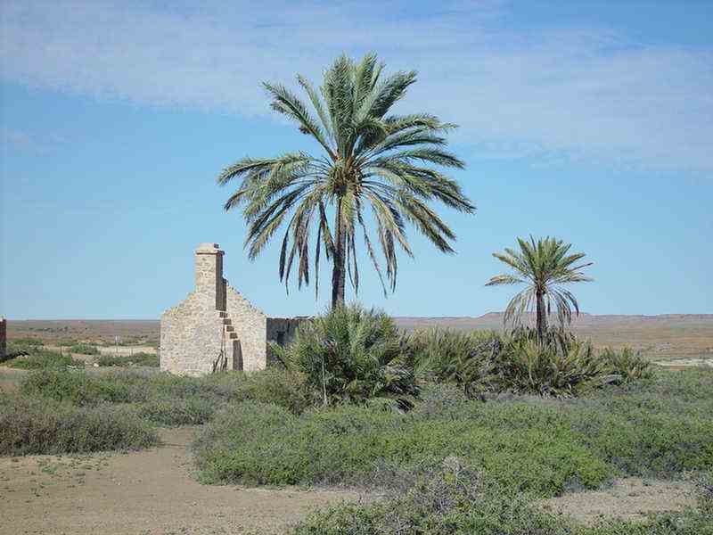
The ruins of
Dalhousie Station. They were constructed from springs limestone and
were built between 1872 and 1885.
Well before Europeans
sighted the springs in the area, Aboriginal groups had used the area
for rituals for many generations.
The first Europeans
to see the springs were surveyors working on the Overland Telegraph
Line in 1870.
Prior to the
surveyors leaving Adelaide, Lady Edith Ferguson, the wife of the South
Australian Governor
and daughter of the
Marquis of Dalhousie, had presented them with boxes of books.
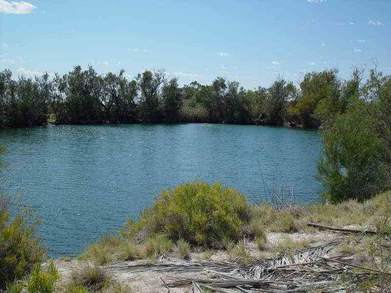
Dalhousie Springs
Water from Queensland
and NT soaks underground and flows here slowly under layers of hard
rock.
The high temperatures
of the Earth's core heats the waters of the Artesian Basin.
It takes some water
up to 3 million years before it can escape to the surface through rock
faults as springs.
The water that flows
out from the springs has many minerals dissolved in it.
As the water
evaporates the minerals are left behind as solids.
Over time they
accumulate with the ancient sand and clay to form mounds around the
spring outlets.
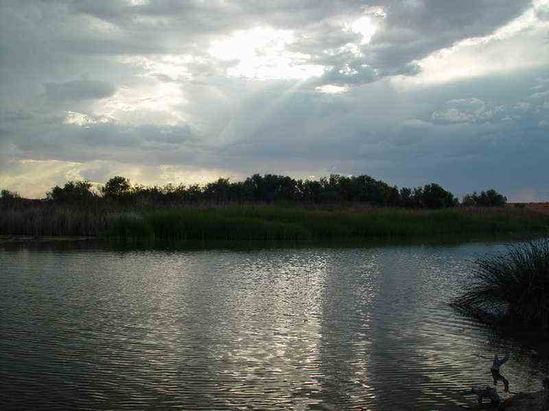
This large natural
pool is one of a of a number of mound springs in the
area.
The water was a very
warm 370C. degrees. It is a pleasant camping area.
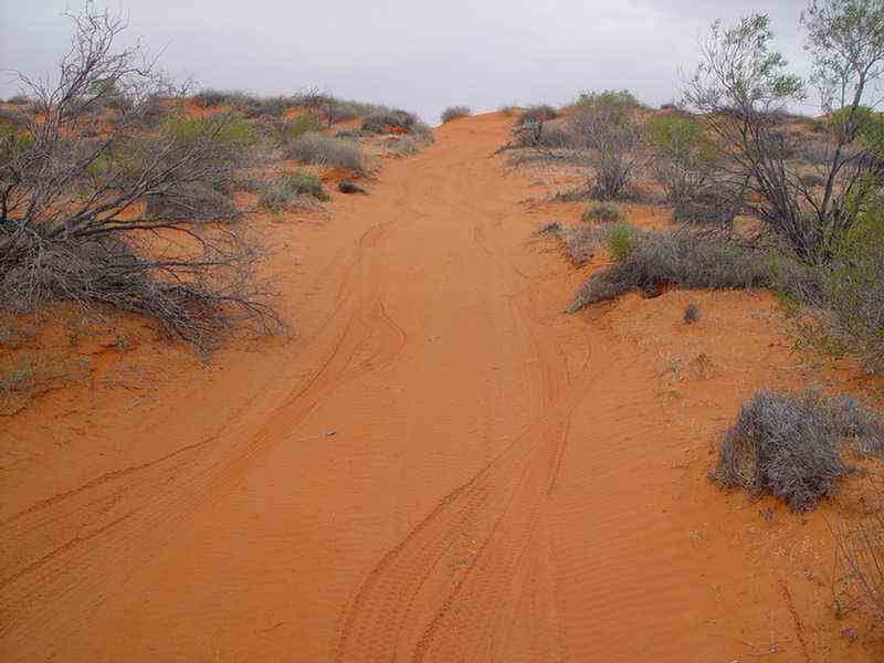
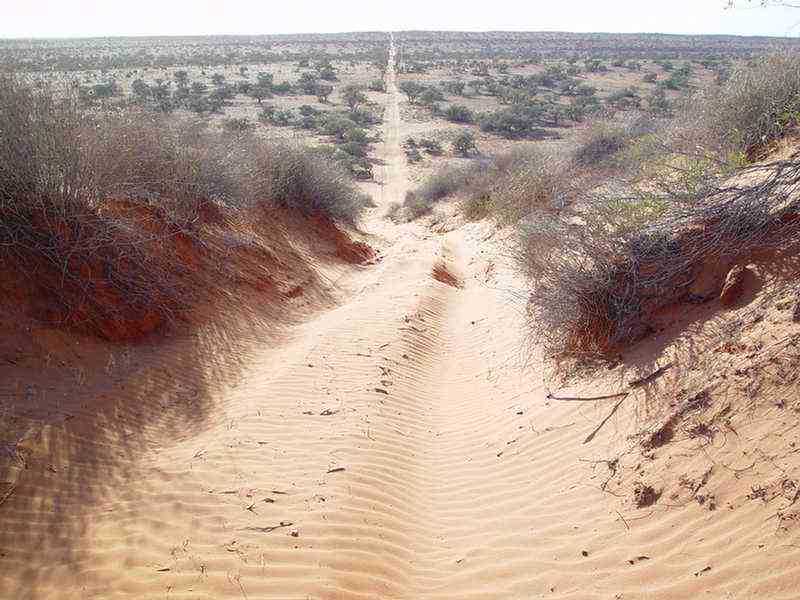
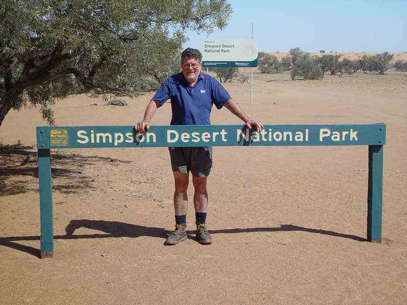
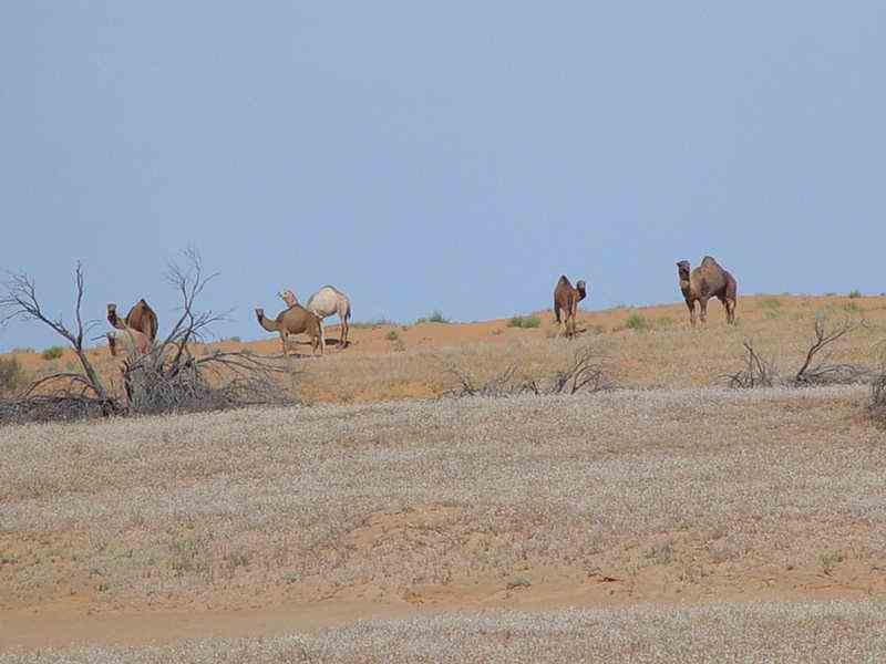
The
start of
the classic Simpson Desert crossing. Along the French Line
not far from Dalhousie Springs.
Dr. Cecil Madigan, a geologist, carried out an aerial survey of the
desert with the aid of the RAAF in 1929.
He named the desert after Allen Simpson who was the then President of
the South Australian branch
of the Royal Geographical Society of Australasia. He had also once been
the Lord Mayor Adelaide.
A thunderstorm
in the desert!!! At our overnight camp at Purnie Bore.
Purnie Bore
was an oil search well that struck artesian water.
A lot of water has flowed from this bore and it has now created a
wetland which is a haven for wildlife.
In
a farm-out agreement with Santos (SA & NT Oil Search Co.) and
Delhi International,
In 1964 they blazed the French Line. It
was an access track through the centre of the exploration
area. The
first vehicle to drive across the desert belonged to Dr Reg
Sprigg's company, Geosurveys of Australia. In
1962, Spriggs, his wife Griselda, daughter Margaret (then 10) and son
Douglas (then 7) completed 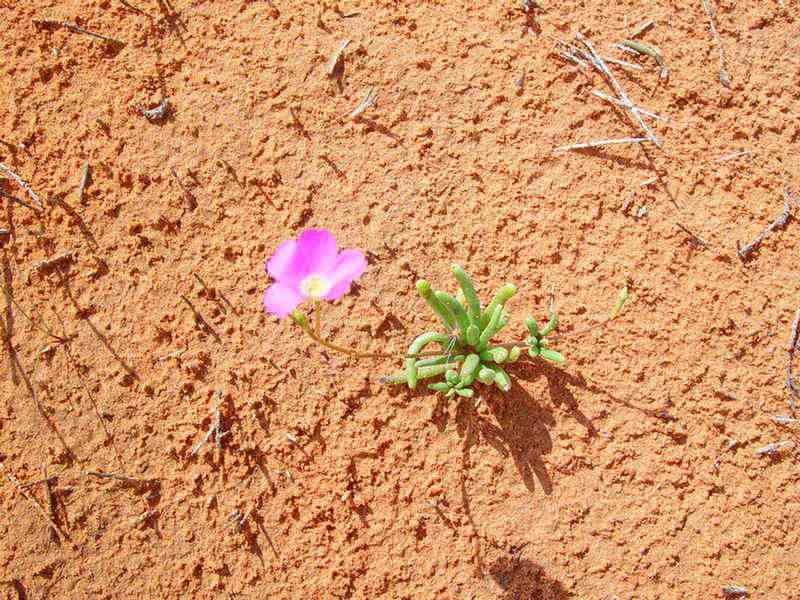
the French Petroleum Company was active between
1963 and 1966.
It
provided the first major access route through a hitherto inaccessible
wilderness.
They were conducting a
gravity survey under contract to Beach Petroleum.
the first west to east crossing of the
desert.
Leaving Andado Station near Mt. Dare, the Spriggs travelled
along an easterly course along the
approximate line of latitude 260S to Poeppel Corner and then on to
Birdsville.
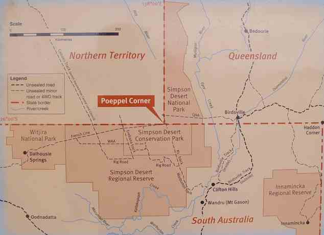
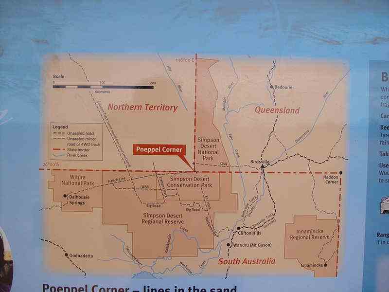
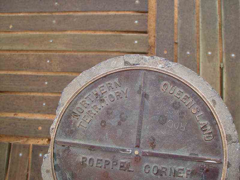
Poeppel Corner, where the Northern
Territory, Queensland and South Australia meet (260S,
1380E).
Augustus Poeppel of
the South Australian Survey Department carried out the first survey of
the border in 1880.
He put the corner right in the middle
of the dry lake that is named after him.
Back in Adelaide it was found that the chain used to survey the border
had lengthened by 2.5cm.
In the 1884 resurvey,
Lawrence Allen Wells, of the SA Survey Department,
repositioned the post
315 metres to the east out of the lake to its present position.
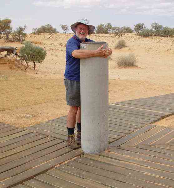
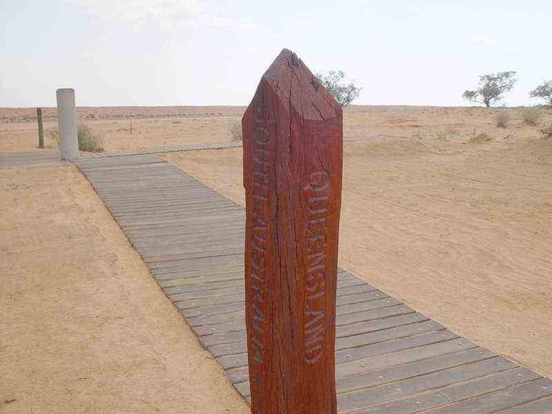
A
replica of the original post. Poeppel's camels dragged it
90km westwards from the Mulligan River.
At
the same time of Reg Sprigg's trip, another survey team from
Geosurveys of Australia found Poeppels's
original post lying flat on
the ground in poor condition.
Spriggs took it back to
Adelaide where it was restored and is now in the State Library of SA.
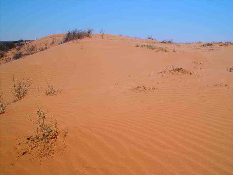
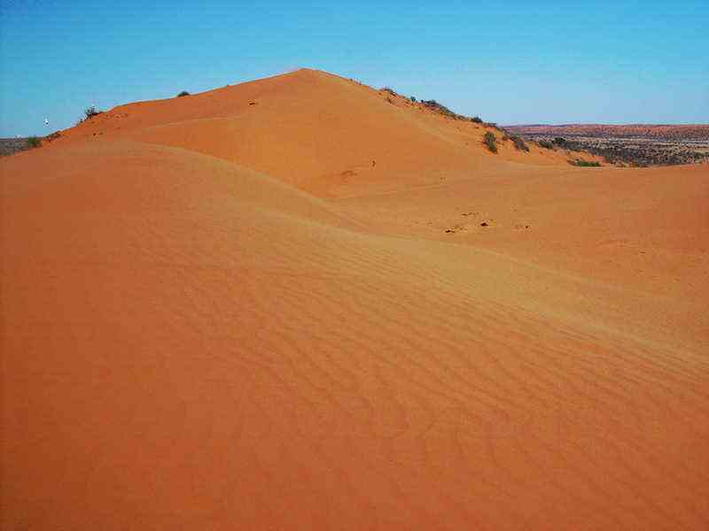
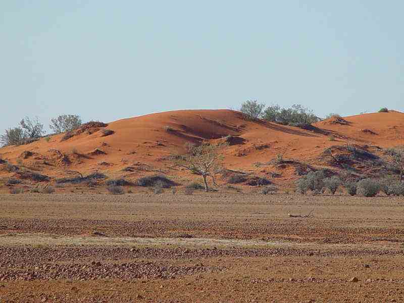
Big
Red (Nappanerica)
The last and most notorious of the sand dunes before the easy 36 km
into Birdsville.
We took the easier, but still challenging crossing over "Little Red".
It is part of the same dune.
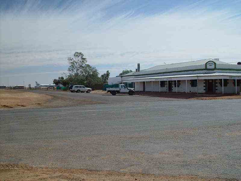
Birdsville
On
the Diamantina River, the small settlement lies between the sands of
the Simpson Desert
and gibbers of Sturt's Stony Desert.
The famous pub is adjacent to the airstrip.
Before
the days of refrigeration, your beer was poured into a
saucer ... you had to continually blow on it to cool it down
and of
course to keep the flies away.
The
area around Birdsville was first explored as early as
1845, while surveyor Charles Sturt
was searching for an inland sea.
In
1869, Burke and Wills set up camp 76 on the banks of the Diamantina
River
here on their return from the Gulf of Carpenteria.
After
leaving Birdsville we headed east and then south into South Australia.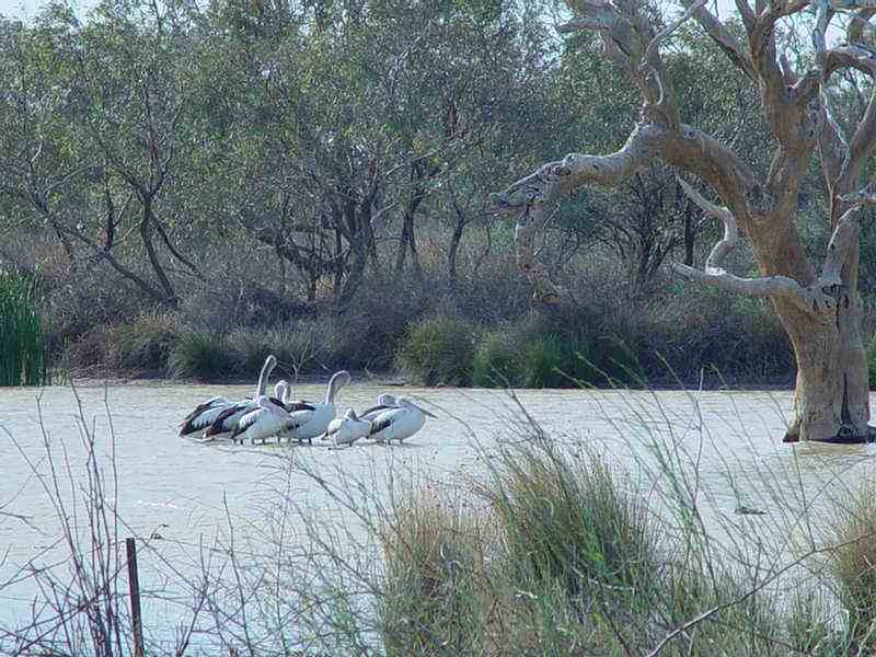
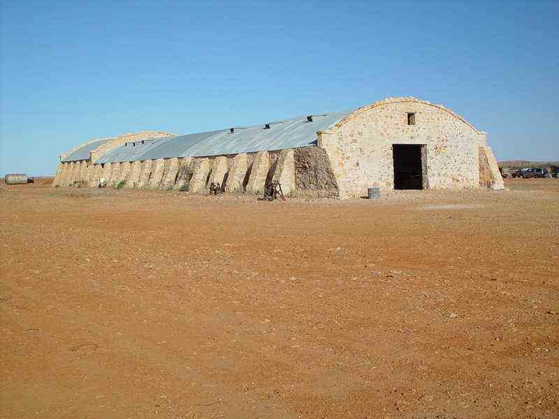
Cordillo Downs
Not now in
operation,
this was the largest shearing shed ever built in Australia.
Up
to 88 shearers could shear at once. In 1878 a
pastoral lease was taken up for Cordillo Downs Station and by 1883,
10,000 sheep were being run on the property.
In 1900
Cordillo amalgamated with Cadelga and Haddon Downs and the property
spread across 102,400 sq km,
shearing 100,000 sheep a year.
Shearers
caught the old Central australian Railway train to
Lyndhurst or Farina (600km south)
and then cycled or walked the rest of
the way! Some may have been lucky enough to have a horse.
The wool clip was transported by Afgan camel train to the
railway.
The domed roof of this old shearing shed is characteristic of
the buildings on Cordillo Downs station.
On
the flat gibber
plains of the region, wood is very scarce, and a method of
construction to minimise
the use of roofing timber was
sought.
The
solution was a domed, corrugated iron roof structure,
supported by butrussed
stone walls more than half a metre thick.
Up to 88 shearers could shear at once; 4 shearers to a port
hole.
The sheep were penned down the middle. Other buildings
on the station were built in the same style.
Dingos and
drought took their toll on the sheep. Since 1942 Cordillo Downs has
only run cattle.
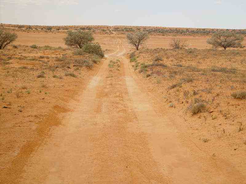
We
camped at a pleasant spot on the banks of a creek, about 30 km south of
Cordillo Downs.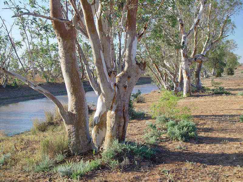
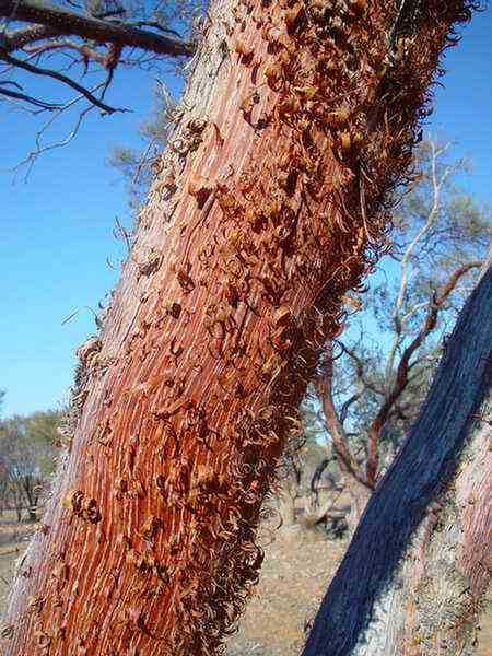
on the Canning Stock route trip.
These Red-barked Mulga or Minnaritchie trees (Acacia Cyperophylla) all appear as if they have been whittled
by someone with a knife and present a most unusual sight.
They have curly red bark, sparse foliage and grow in a narrow band of latitude.
Innamincka
The
restoredformer nursing centre, now a display centre and National Parks
office.
In
1845, Charles Sturt was the first European to pass this way.
Innamincka
is a small township on the banks of Coopers Creek.
A police
station was set up in a tent here in 1882.
The
township struggled to survive and in 1952 all facilities eventually
closed.
It laid in ruins until 1971 when some township lots
were sold to a syndicate who built a hotel-motel-store complex.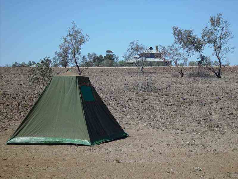
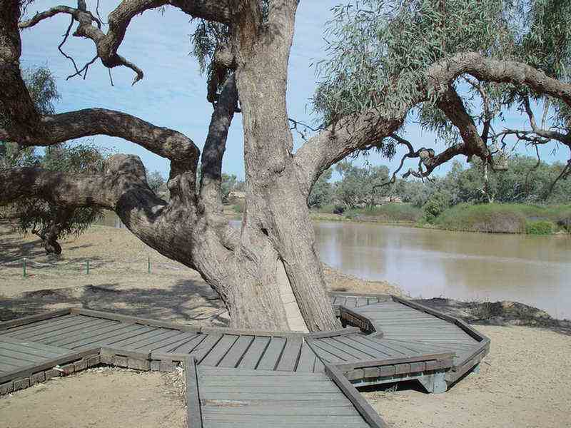
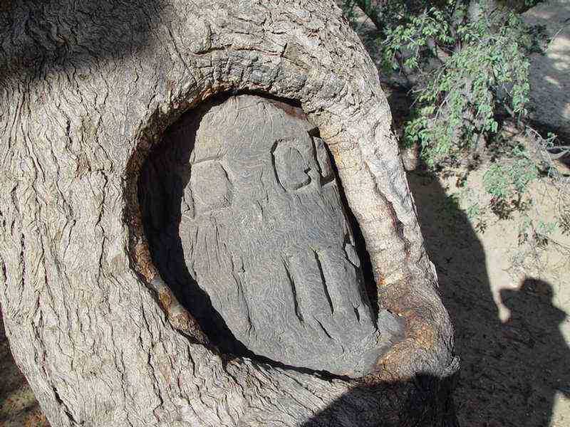
The
Burke and Wills Dig Tree
It
is in
a very pleasant setting on the banks of Coopers Creek, about 70km from
Innamincka.
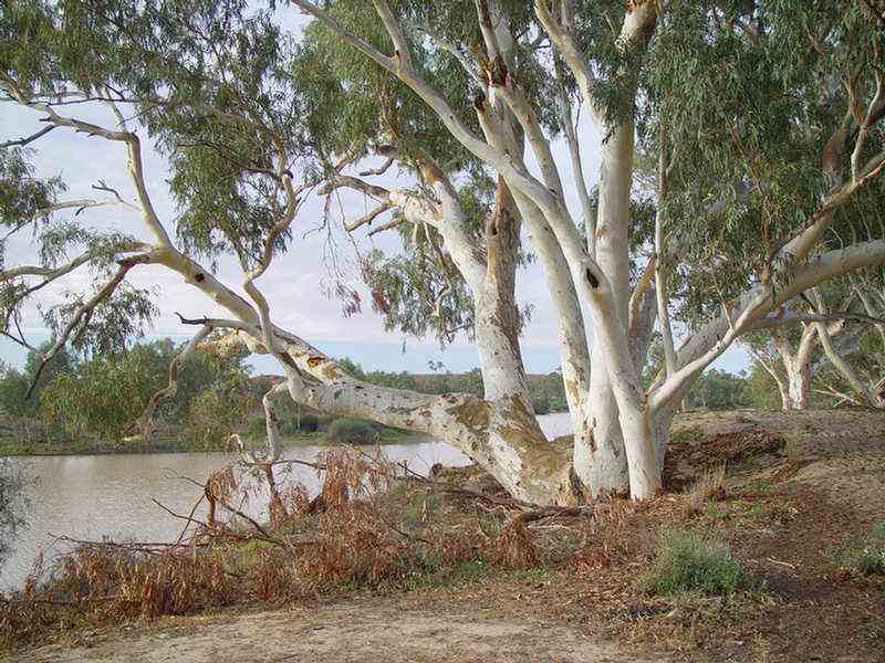
The
dig tree is a coolibah (Eucalyptus micronetha), a common tree along
inland water courses.
Estimated
to be 250-300 years old, it
is relatively healthy.
The cement plug shows where the tree
was successfully treated for termite infestation in 1960.
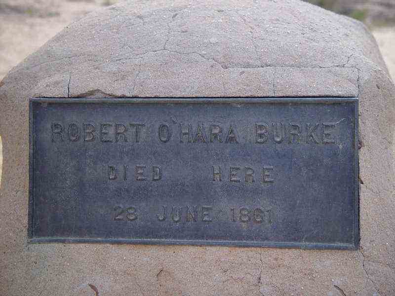
with Wills, Gray and King to the Gulf of Carpenteria.
Brache and his party waited here for over 4 months for them to return.
Burke, Wills and King returned on the very day (21st April 1861) that Brache had departed nine hours earlier.
A great Australian tradegy.
After finding Camp 65 had been vacated,
Burke decided to head west along Coopers Creek
to Blanchwater Station
near Mount Hopeless.
King died first, and after
travelling about 60 km along the creek, Burke died.
He
was buried here initially. However his remains are now in the
Melbourne General Cemetry.
Following Brache's return to
Melbourne, a search party led by Brache and Howitt
was mounted and
eventually located King further along the creek on the 15th September
1981.
He
had survived as an uninvited guest of the Cooper Creek Aborigines.
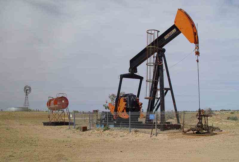
The
Strzelecki Track is well maintained as it services the Moomba oil and
gas fields where
Santos has extensive operations. Oil is being pumped
from a depth of 1150 metres in this well.
And so on to the northern Flinders Ranges and eventually home.
![]()